This week’s walk was sponsored by the Aviation Disasters Walking Club. Which is the new name Louise would like our walking group to be named after I gave the grim details of our adventure over WhatsApp
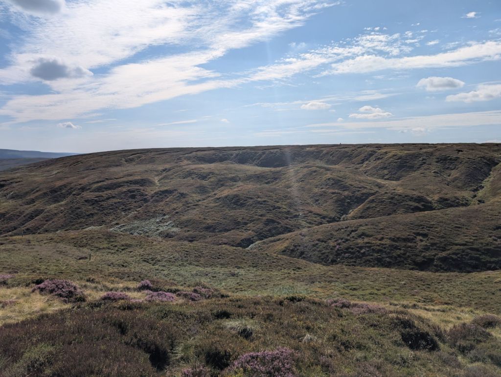
So first thing to note. Don’t do this walk when it’s wet or if there has been rain recently. The peat hags are very impressive when dry, but would be a nightmare when wet. This walk only follows a very short section of the Pennine Way, the rest of the walk is not paved and there is no path in some sections. This is a compass and map walk. Now that’s the public service announcement out of the way onto the walk. Ohh there was also swearing on this walk as well, but no nudity.

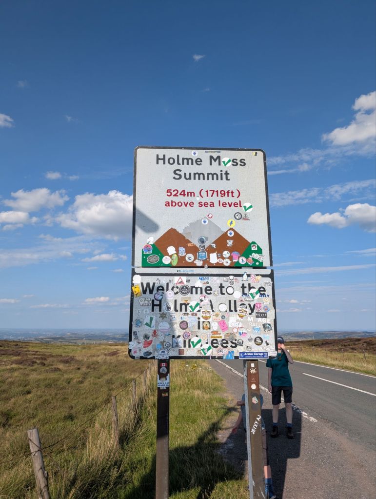
The walk starts at Holme Moss Carpark HD9 2QH. It’s a free carpark and there was even an ice cream van there. We came out of the carpark and turned left, walking down the road for a short distance. Then on the right, where there are more carparking spaces and the start of our walk over a stile.
We followed the faint path through the peat continuing on to the top of Heyden Head. This is where we were looking for our first plane crash site.
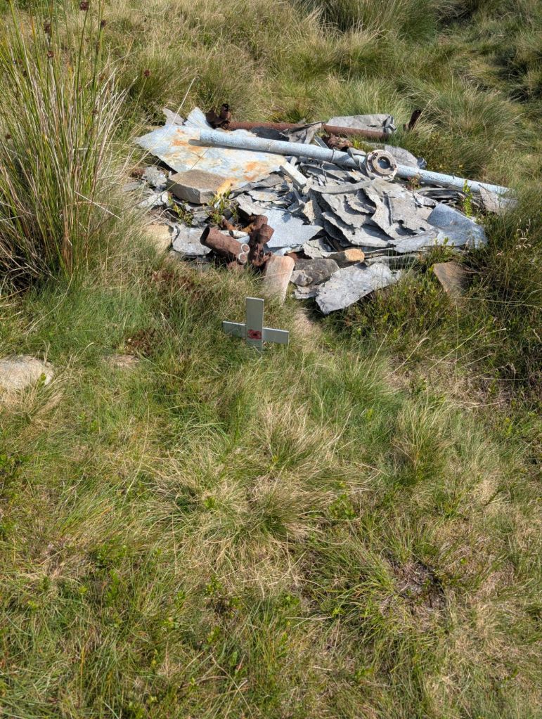
Grid Reference SE 08338 04764 Fairy Swordfish P4223.
At the top of Heyden Head we deviated a little from the path to the coordinates above. Back in 1940 a Royal Navy aircraft crashed into this spot. The pilot was killed instantly, but the plane and his body were discovered a month later by chance.
https://asn.flightsafety.org/wikibase/22304
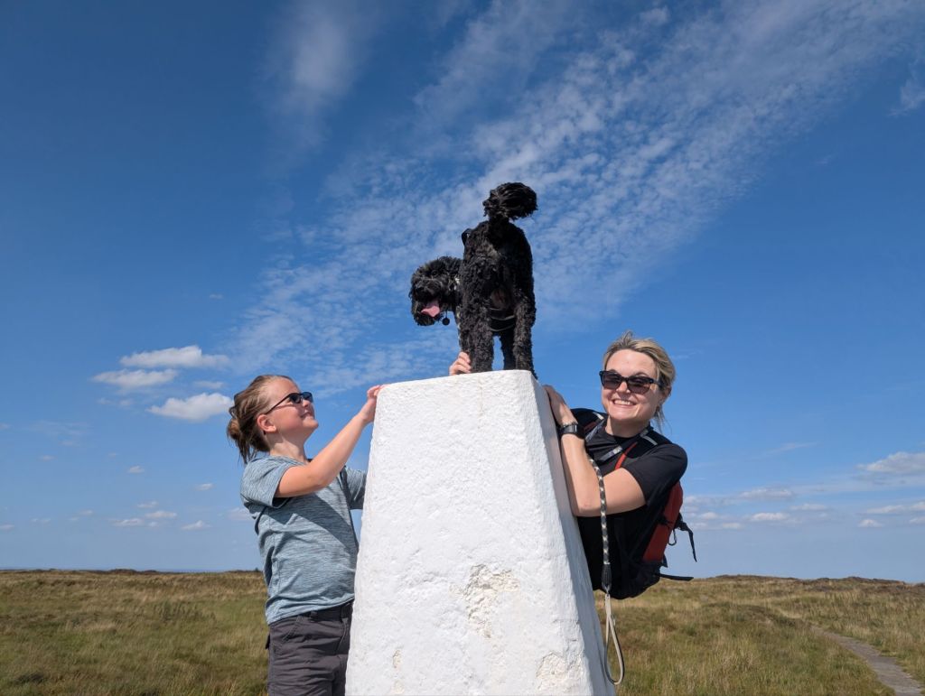
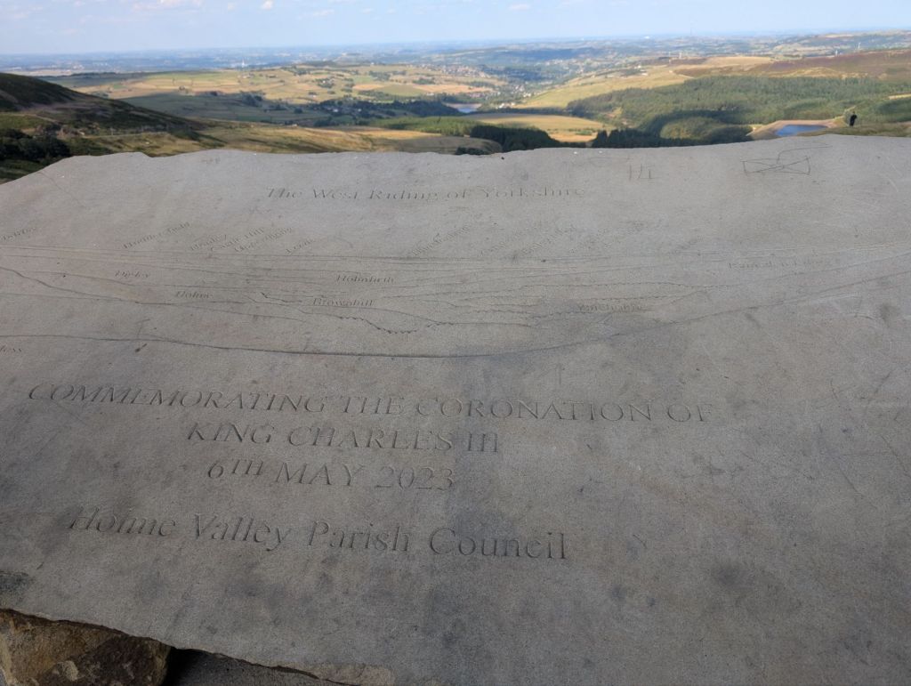
From the wreckage remains we then rejoined the path to walk up to Black Hill trig point. This is the highest point in West Yorkshire at 582m above sea level. As trigs go, it’s quite a cool one. It has a brick base which isn’t often seen.
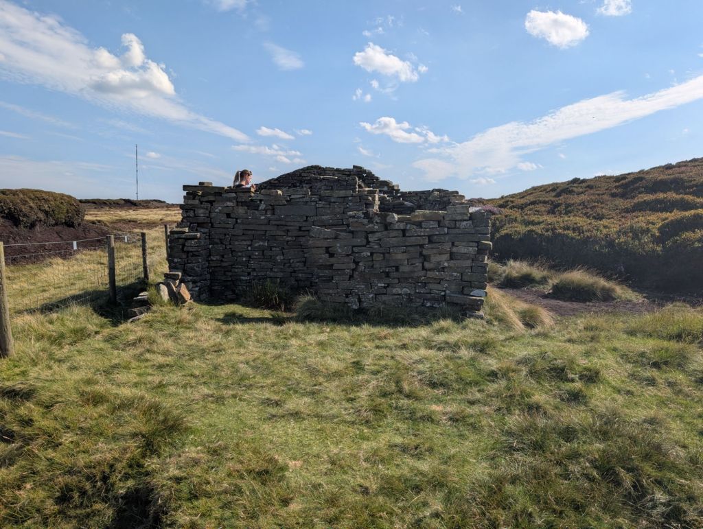
From the trig point we turned right and followed the Pennine Way in a North Easterly direction until we came to a fence. We turned right again and followed the fence East. After a short distance we came to Wrigley’s cabin.
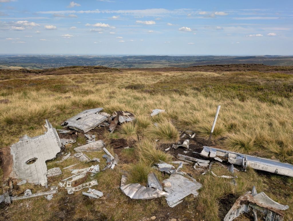
Grid Reference SE 09106 05071 Canadair Sabre II
From the cabin you just have to walk through Peat Hags and aim in the direction of the above coordinates. There is no path, just moorland. Eventually you will come across the Sabre II wreckage. This plane crashed in 1954 and the pilot was killed. The plane was seen coming down by people living in Holmfirth and then a search took place trying to locate the plane and pilot.
https://asn.flightsafety.org/wikibase/207755
From this point head towards the big mast in the distance. Enjoy walking through the peat and making your own path.
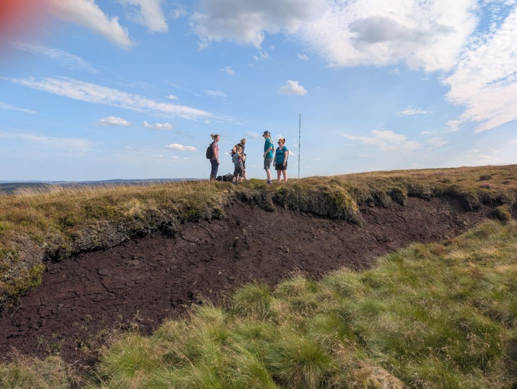
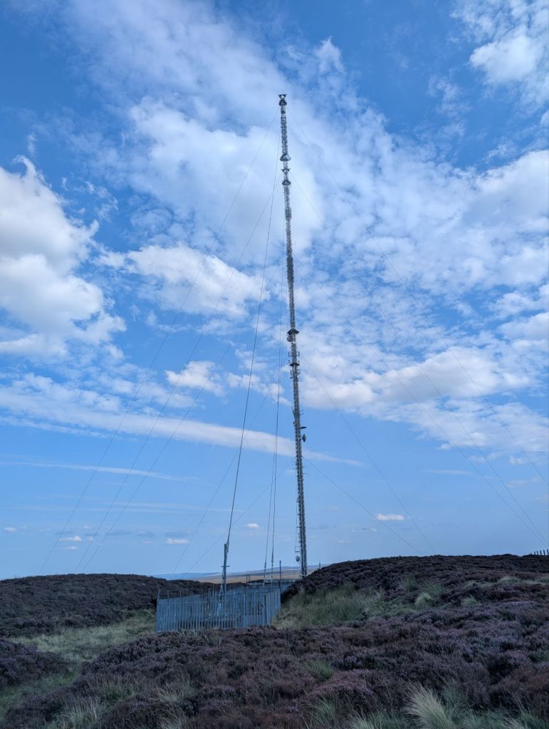
From the mast you can see the road and follow this back to the carpark.
It comes in at just over 4 miles to walk this route.
http://hiiker.app/maps/recordings/hike-on-25-08-2025-04-45-pm–1669343347


Leave a comment