Annual leave, a sunny weather forecast and nothing planned. It was inevitable that a mountain was chosen as an adventure. Luckily on Thursday morning I was able to book into the Llanberis campsite and Zara and I set off to Wales that afternoon.
So I now have another road to add to my hatred list. The A55. Now in theory this road is great. Tunnels and amazing views make you feel like you’re driving somewhere exotic. However, this road is full of numpties! So many crashes and problems and this was in both directions as well. We eventually made it to the campsite and pitched our tent.
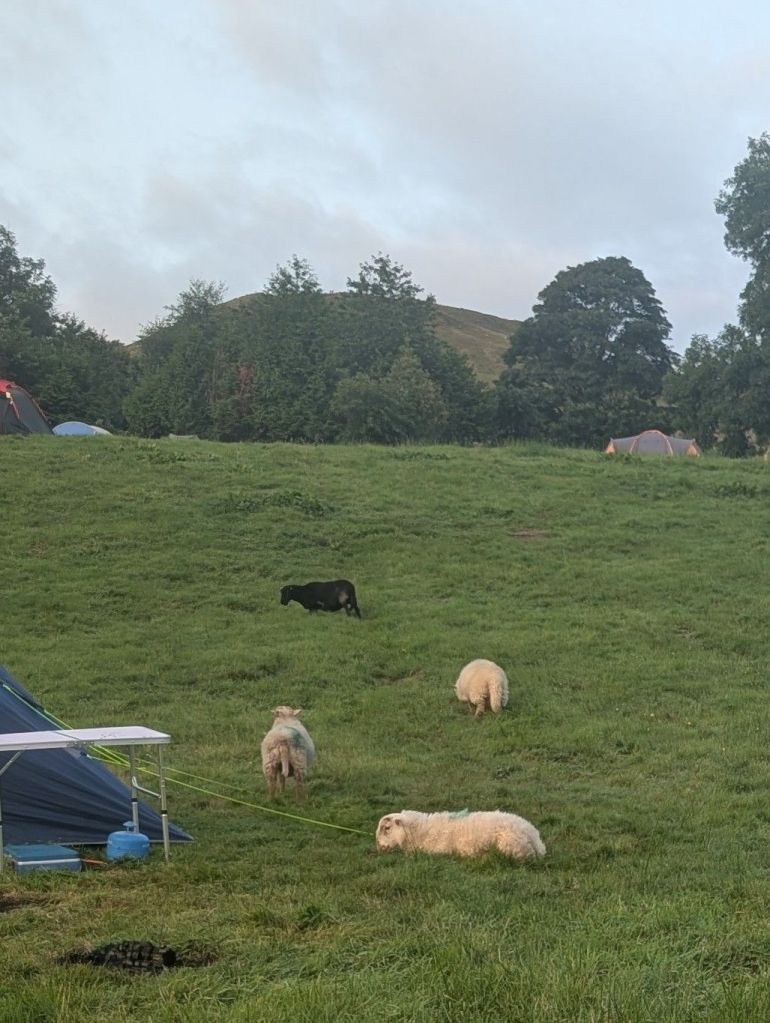
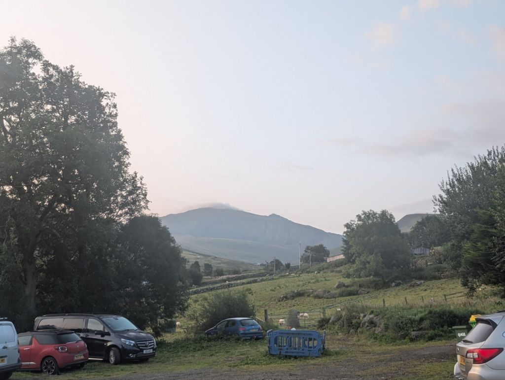
The campsite is on a hill and also part of a farm. There were so many animals around our tent, which was a bit weird in the night The sheep were really noisy at about 2 in the morning waking us all up, I think they were having a sheep party. On the second night, the sheep had moved on and we got a good night’s sleep.

We started bright and early. There were some wispy clouds in the sky and the sun was out. It was warm and I wasn’t looking forward to the climb in the heat. I wasn’t expecting the weather we encountered though!

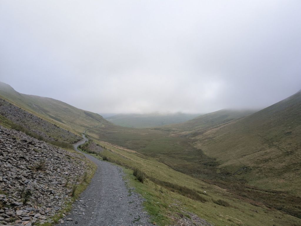
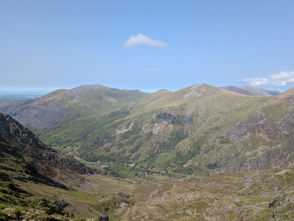
There is a bridle way from Llanberis that takes you to the Ranger path. It gradually climbs and takes you around the west side of Moel Cynghorion. This path is great.
After 4.5 km we arrived at the Ranger Path. There is a sign that says there’s only 4.6km to the summit. I’m thinking I’ve got this, it’s going to be great.
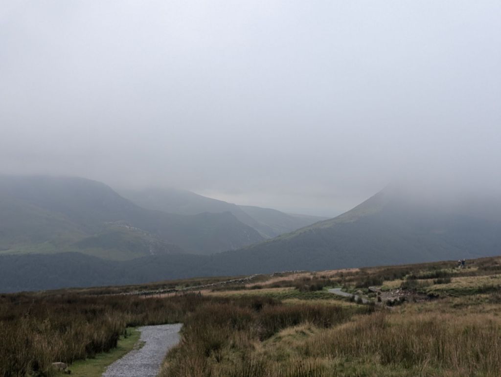
The cloud starts to come in though, which gives a nice respite from the sun, but means I can’t actually see the summit of Snowdon.
The ranger path can be described I think as a walk of three parts. You have the first section, that’s great. Lulls you into false security. You think this is going to be one easy walk.

We knew from looking at the gradient on the maps that something unpleasant was coming. We decided that we would have a rest before hitting, what I’m calling section 2 – the switch backs.

I didn’t mind the switchbacks. Quick elevation in a short distance. A few rocks to scramble up, but nothing crazy. Very similar I’d say to the scramble bits up Pen-y-Ghent. A couple of quick breathers and we were up it fairly quickly. Sadly, no amazing views.
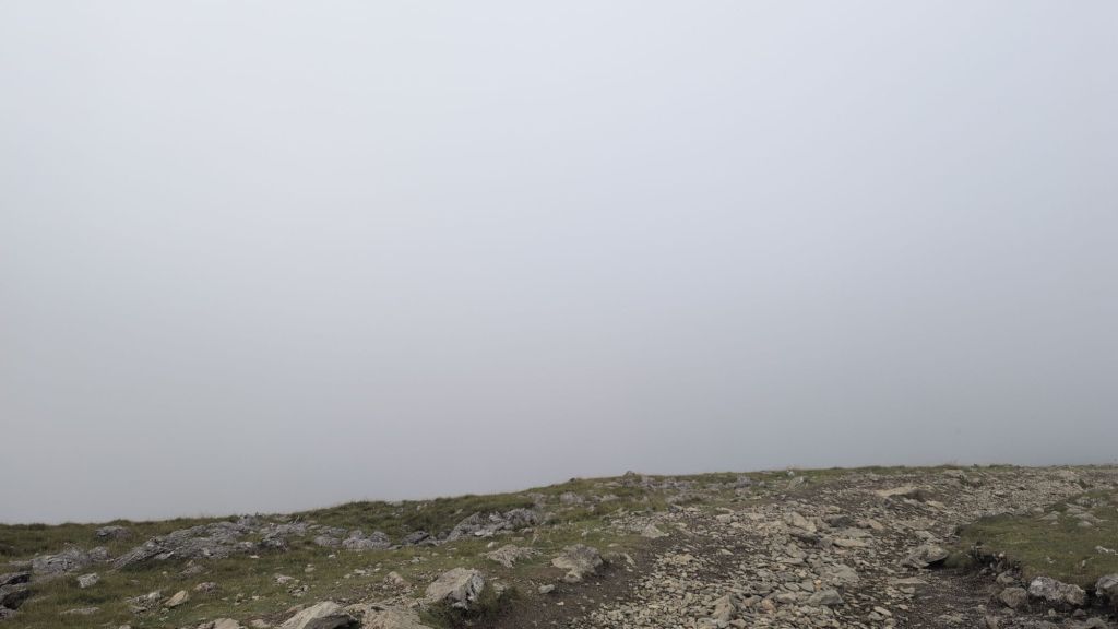
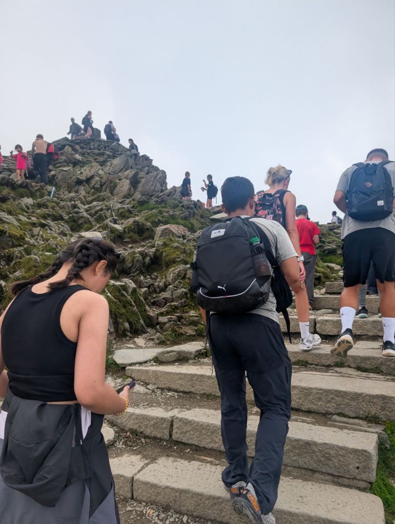
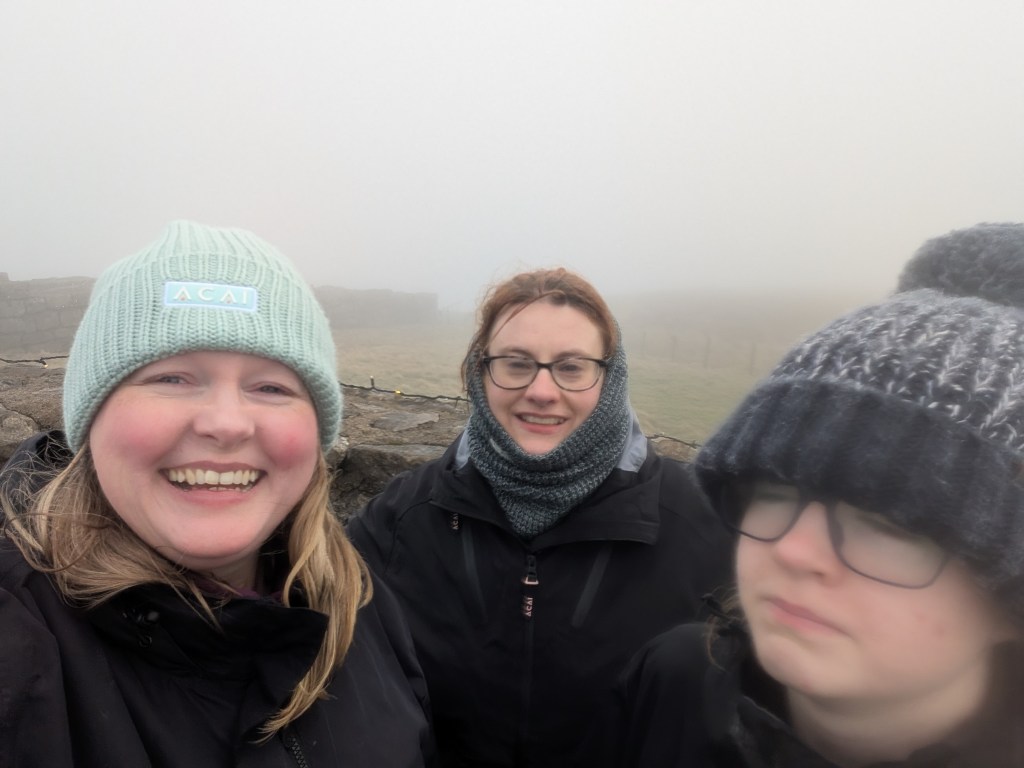
Anyway section 3. Steep uphill, up a stony type path. I didn’t like this section at all. It really sucked. Maybe if I had some views I would have liked it more. I can understand how people get lost though in the fog because we were walking cairn to cairn.

Sound travels oddly in the cloud, and I kept hearing the train that comes up the mountain. I couldn’t see it though, and at every cairn I expected to be at the crossing to cross the tracks. Except no! There was just more walking to cairns that appeared in the cloud. I was getting a little disheartened at this point.
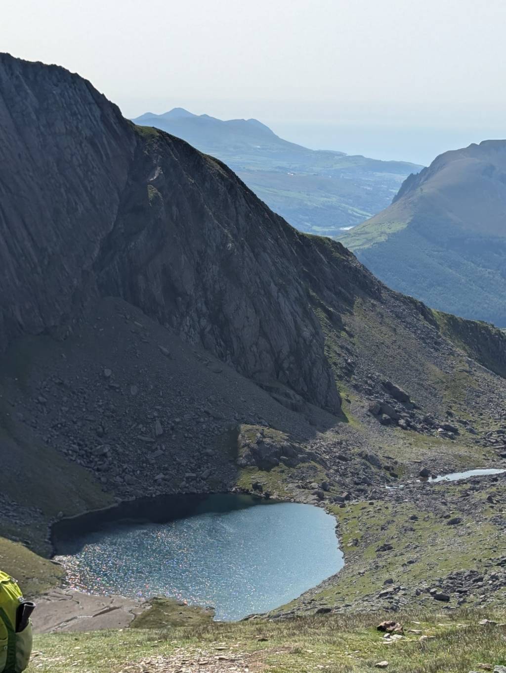
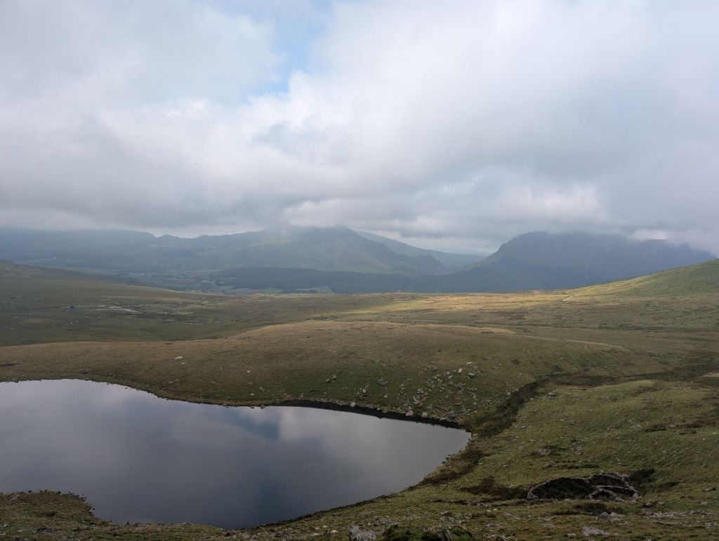
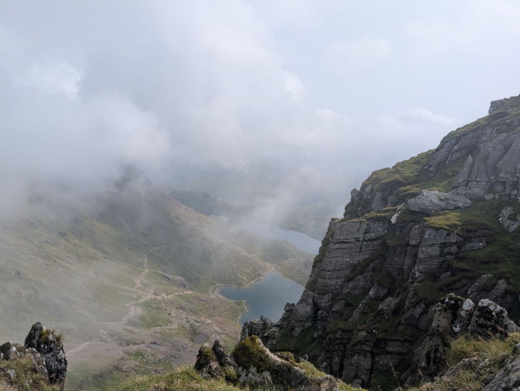
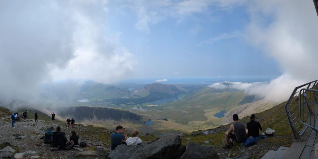
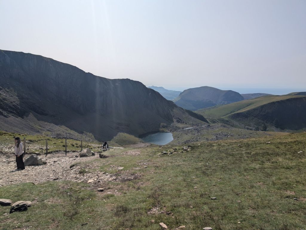
Then like magic the clouds started to just vanish. I could look around me, drink in the amazing views and just felt so much happier. We could also see the Llanberis path just ahead of us and the train tracks.

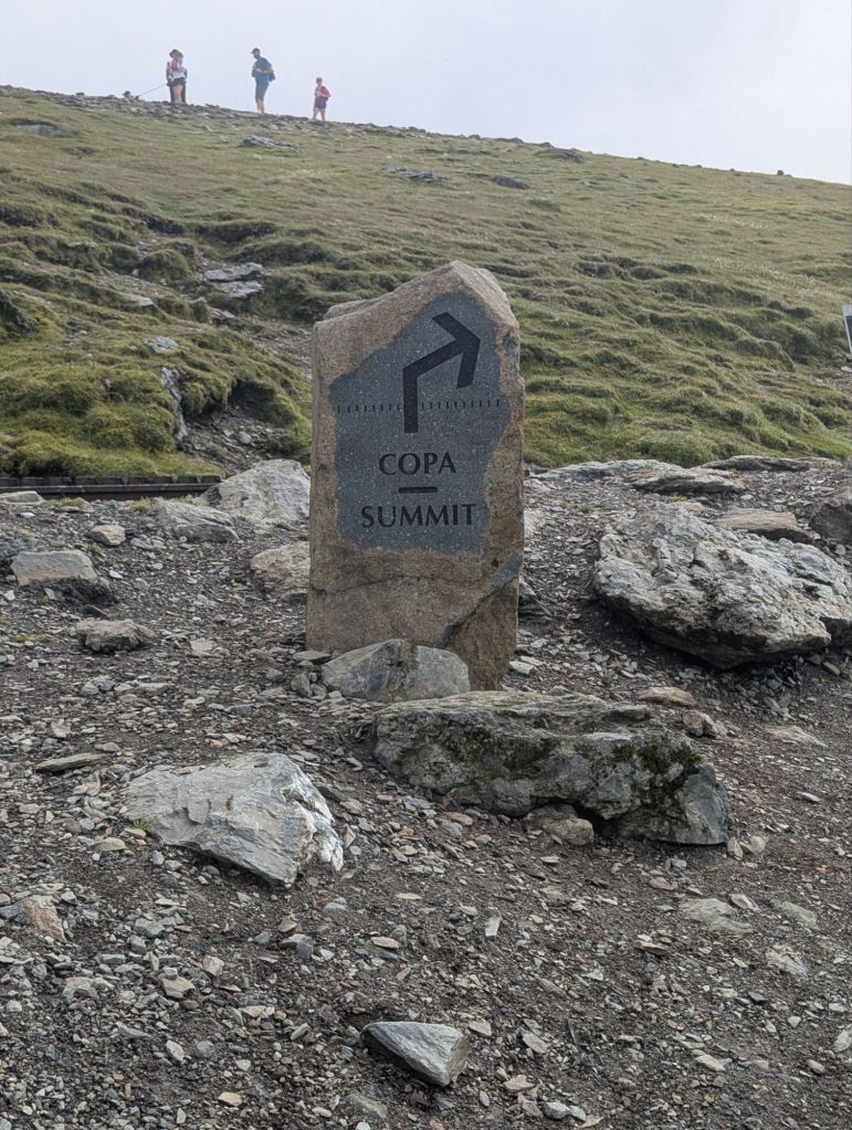
The Ranger path meets the Llanberis path along with several other paths. This means just a short 15 minutes up to the top. The views here are amazing!
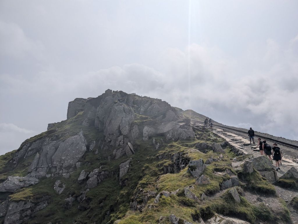
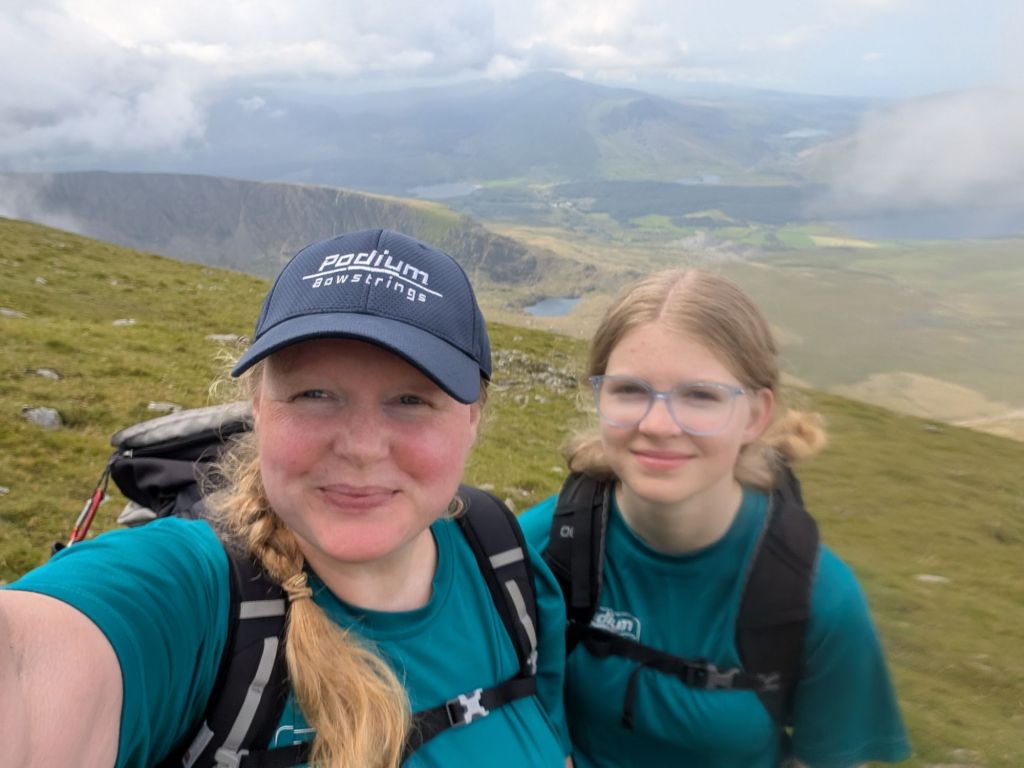
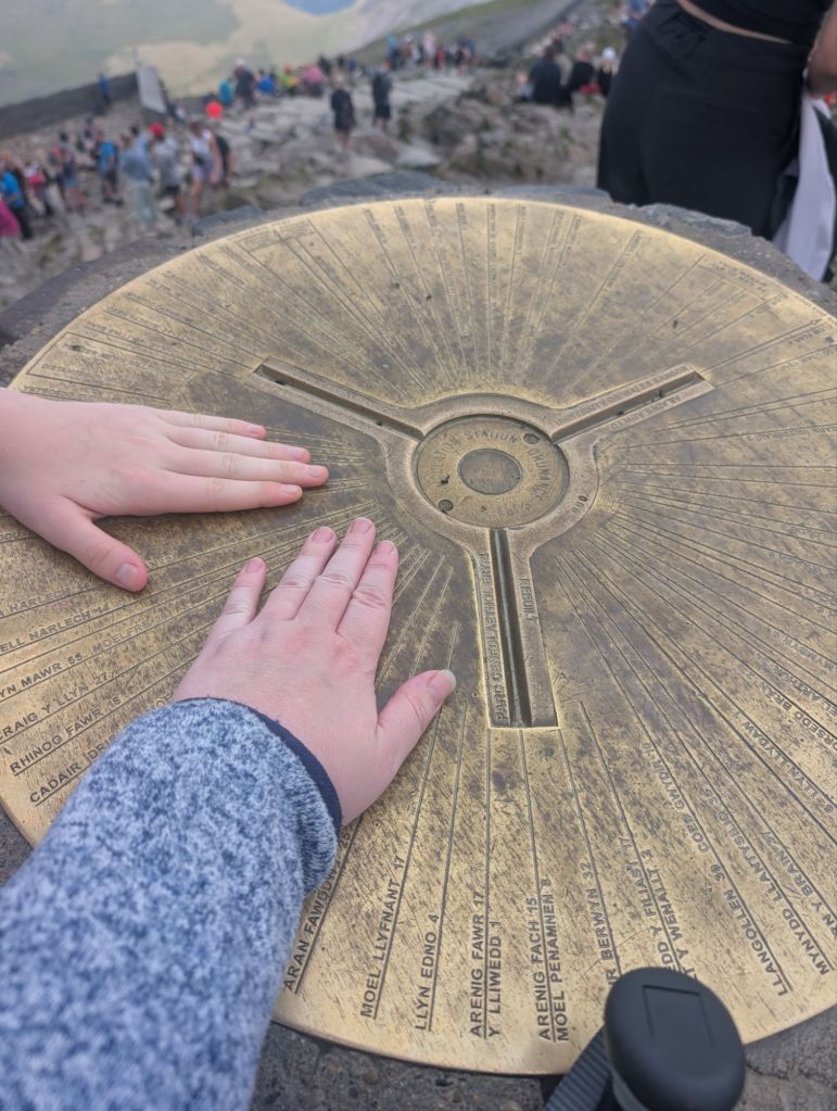
We make our way to the top and then join a queue for the trig point. I have heard tales that on a weekend this queue can be very long. We waited about 20 minutes to touch the trig. I have to touch the trig, because that’s the only way to make it count.

Now the summit. What can I say. I’ve never been on a mountain like it. There are toilets, a shop and a restaurant! We spent a lot of time up here. Zara got a new hoodie, we had lunch. We probably spent a good hour and a half up there at least. The views were amazing though, we could see all the way out to the sea.
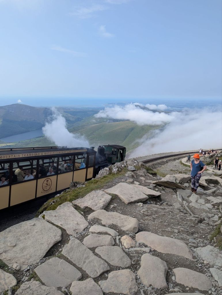
We eventually began our descent and we were going down the Llanberis path. The sun was out and it was glorious. Zara got a new obsession with taking a photo of the train every time it passed us by.

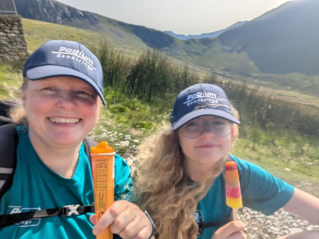
So half way down the Llanberis path, is a cafe! It was a very surreal experience. Zara and I had an ice lolly each. I’ve never eaten an ice lolly half way down a mountain before.
Once we get down by the Hebron station, we turned off the Llanberis path and walked over the train tracks and up the other side of the valley. This section involved some very large ladder stiles.

It wasn’t too long until we were back on the bridle path and walking into the campsite.
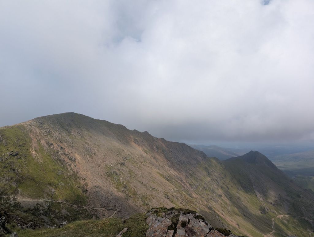
A great day’s adventure, even better for being a circular walk. Zara wants to go back and try a different route next time. Thankfully after seeing the ridge line she has talked herself out of the Crib Goch path because I think I would cry if I had to do that route.
http://hiiker.app/maps/planned-trails/snowden-circular–820645192
The Hiiker app shows the route as being 10.9 miles. We actually walked 13 miles, but I did forget to pause the app when going on adventures at the top and side questing.


Leave a comment