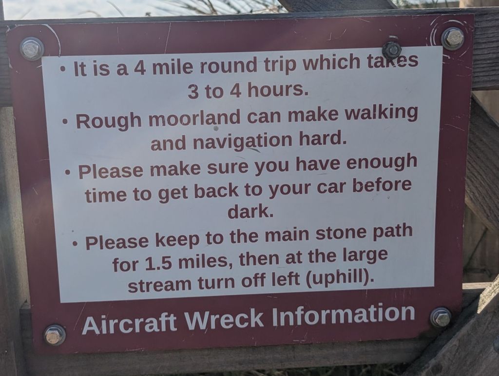
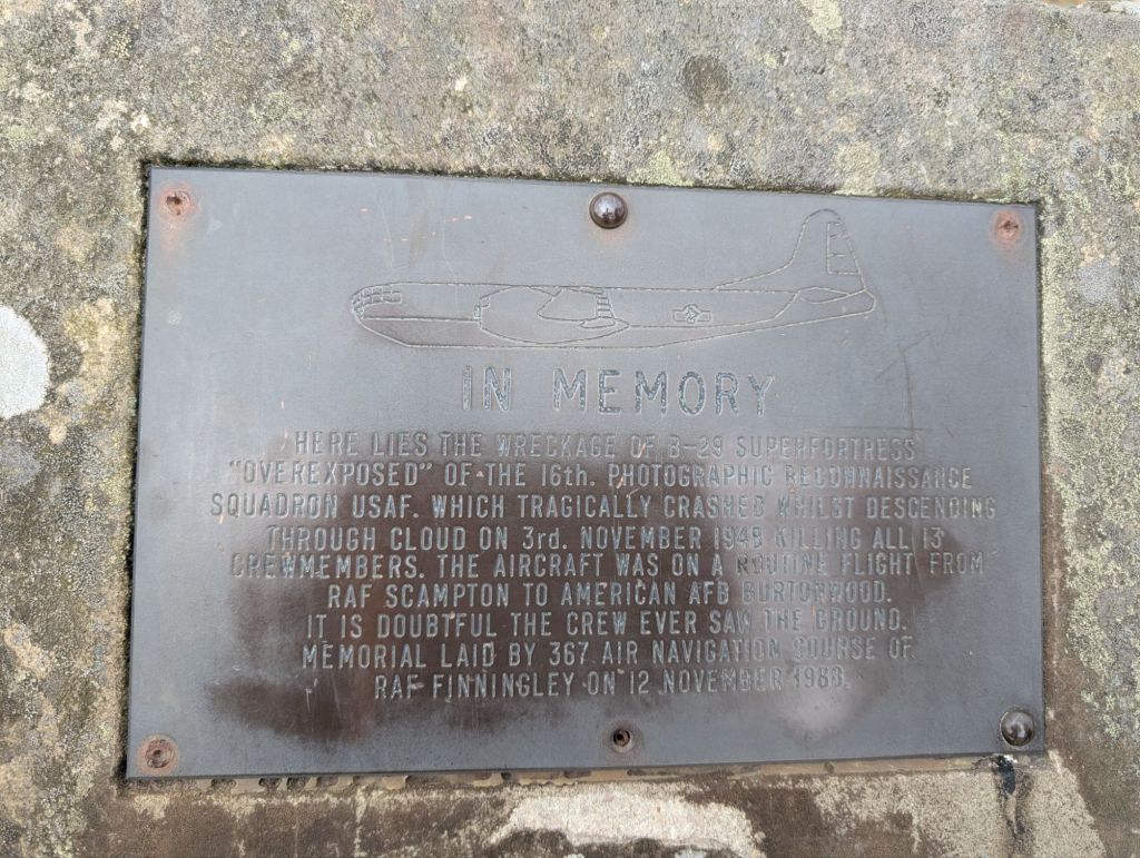
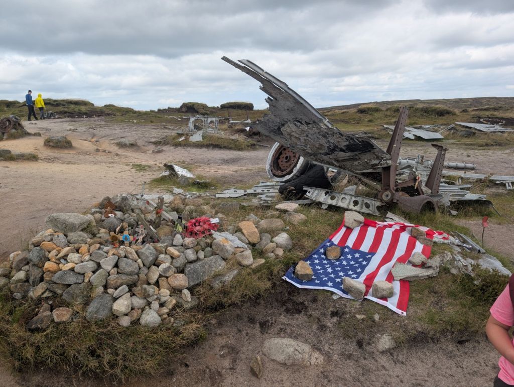
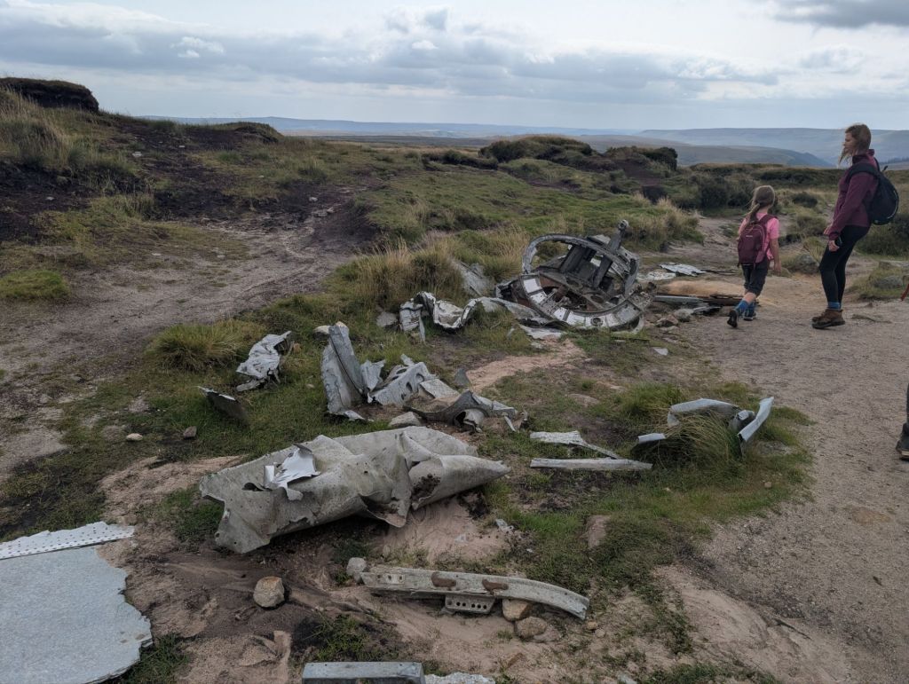
I’m starting to think I’m into dark tourism. We visited another aeroplane crash site today on a walk. This one is in the Peak district and doesn’t involve walking up a mountain. Back in 1948 a big American plane called Overexposed crashed into the peak district, not that far off the Higher Shelf Stones trig point. The wreckage has been left on the Moors and a memorial has been placed there.
The walk starts on the snake pass. There is a parking section, but it’s really busy. We were there early though and got parked.

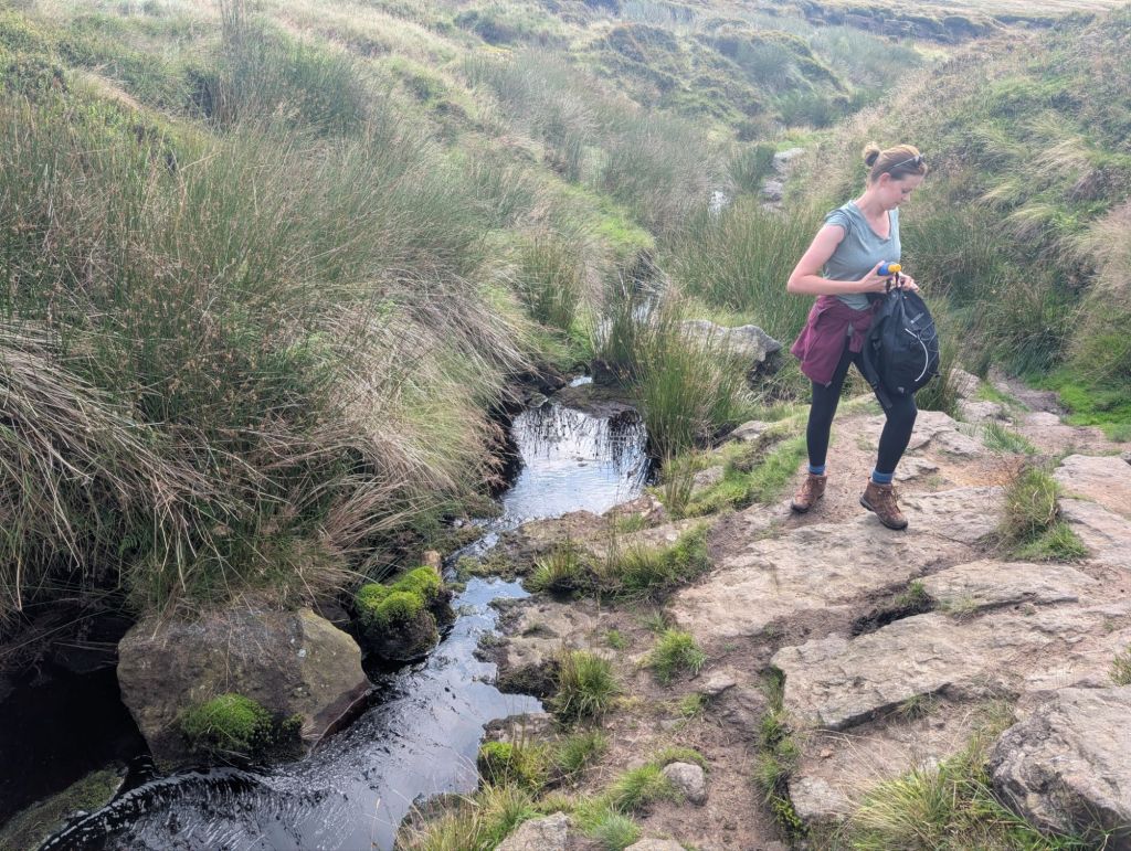
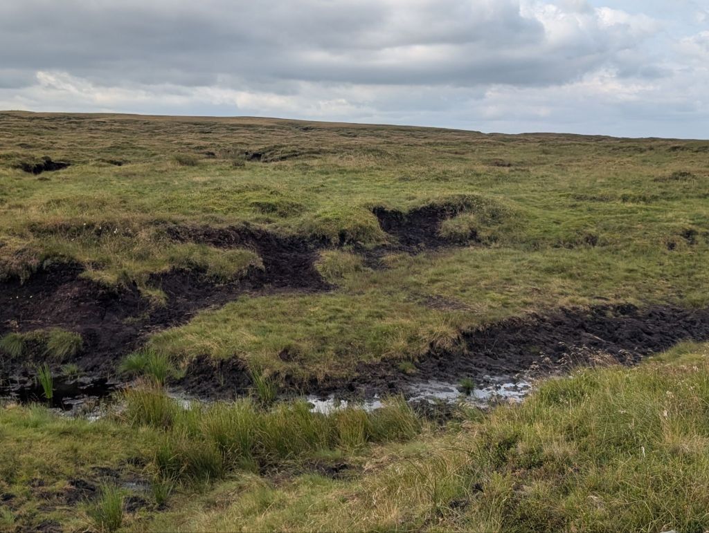
We followed the Pennine Way, which was paved for a decent section of this trail. Then the path went away and before long we were walking through streams and joy of joy peat hags. This walk made me realise that the Peak district needs a name change to the Peat district.

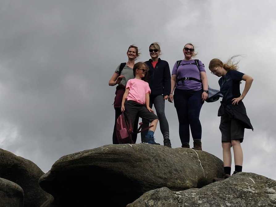
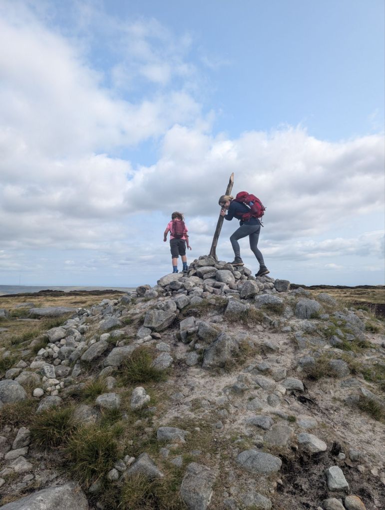
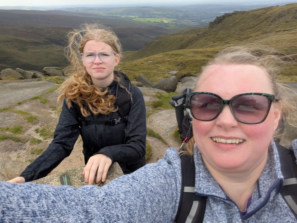
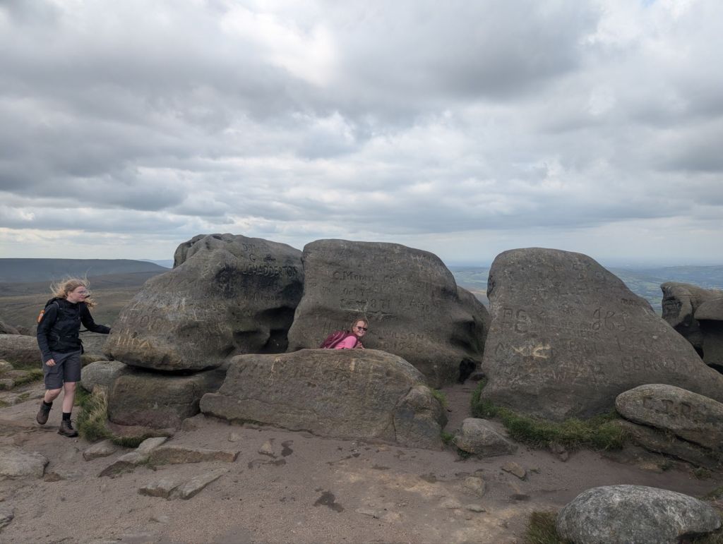
We soon came to a cool rock and this was our first resting place whilst the kids practiced their climbing skills.
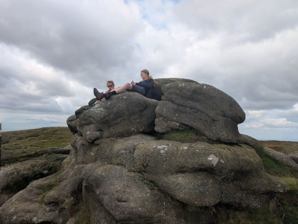

We stayed on the Pennine Way until we came to a cairn on Bleaklow head. We then turned around and walked back to the cool rock to continue our circular walk.
Once back at the big rock we realised that we had to navigate the massive peat hags. It was only a matter of time until I was the one that ended up in the mucky bog. Despite all the walking I’ve done I’ve never had to use my bog socks. I did today and they were worth the money.
Once through the peat hags we came upon the Overexposed crash site. The bits of plane are still all over this section of the moor. I don’t know enough about planes to know what the bits are.

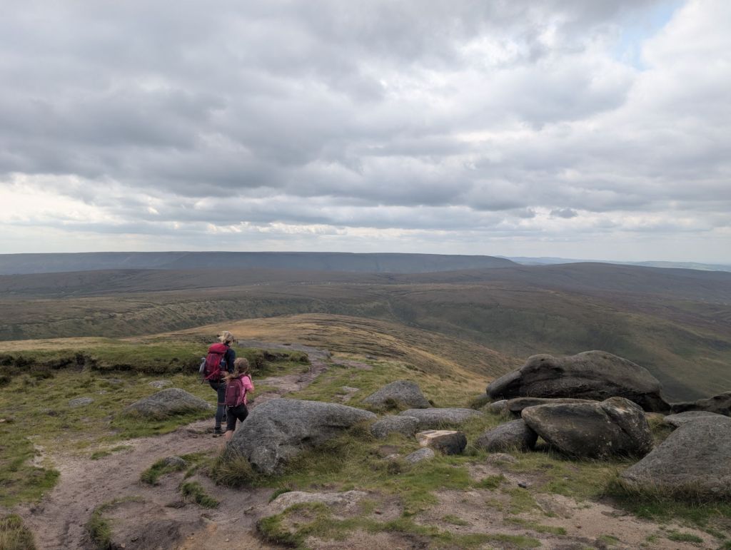
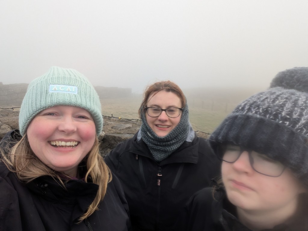
Up the hill slightly is Higher Shelf Stones trig point. I love trig points. Trig life forever!
From the trig point we walked down in the direction of the car, which we could see in the distance.
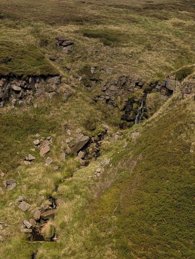
The slope down from the top would suck in the wet. It is pretty much peat and I could imagine it being so mucky. Once down from the peat though the path was very cool and we were following a stream.

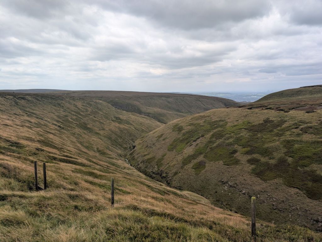
We nearly continued walking past our turn as we were following the path marvelling at the beauty of the valley. When you come to a stile on the right, you need to turn left. It’s only a short walk back to the Pennine Way and then onto the car.
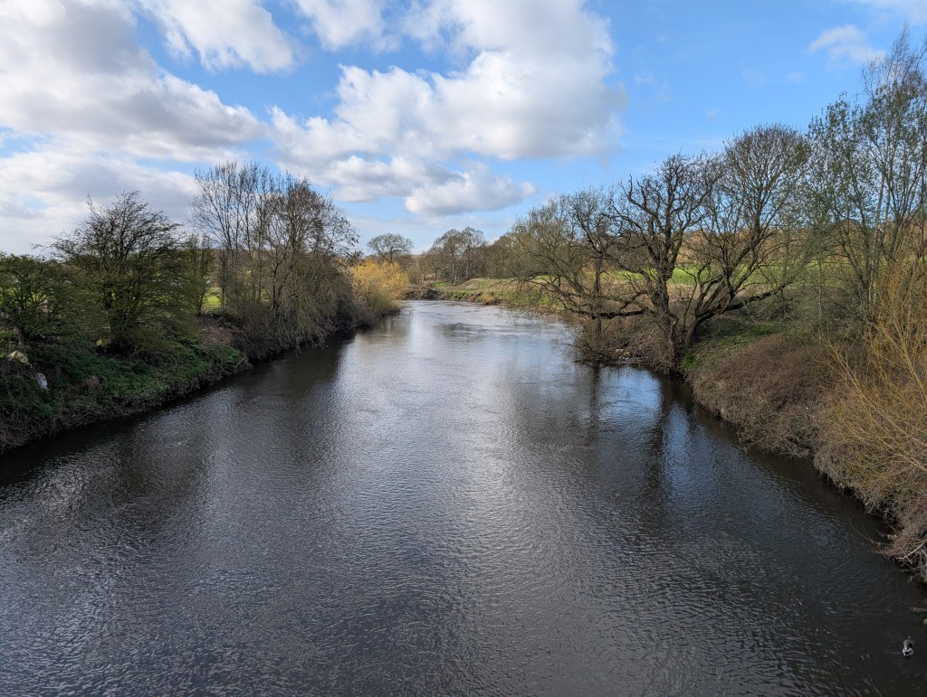
A great little walk that came in at 6.54 miles. We decided to make a full day of it though and get in the car and drive down to Ladybower reservoir to do a loop of that before heading home.
http://hiiker.app/maps/recordings/hike-on-higher-shelf-stones-and-bleaklow-head-walk–86448450


Leave a comment