I was going to just adjust the previous Buckden post, but this new walk up felt like it was worthy of its own post.
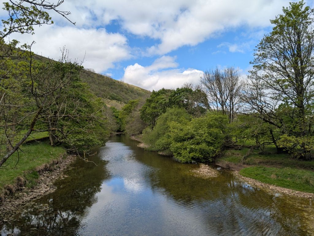
Parking once again in Buckden carpark we headed towards the river Wharfe instead of taking the path uphill from the carpark. We followed the river for a couple of miles which was good easy walking.
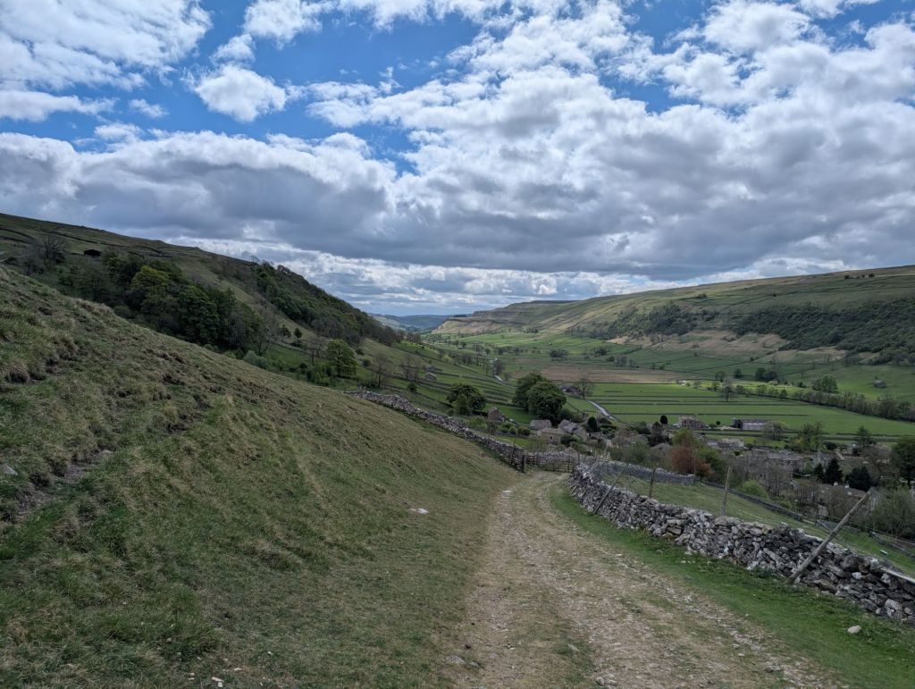
Once we reached Starbotton we crossed back over the river, through the little village and started our ascent. We followed a path called Walden road and whilst steep in some places it was easy enough to navigate.
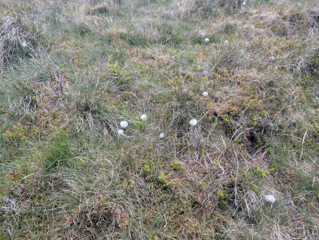
I was surprised to see cotton grass this early in the year, it must be the very hot spring we are having making things grow earlier than normal.
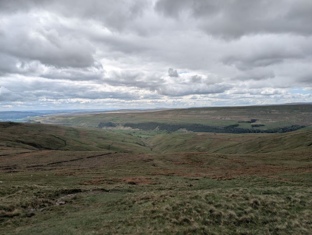
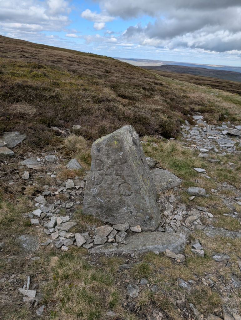
Anyway we continued on up and up until we came to a boundary stone, or that’s what I’m assuming it is. Then we had to take a left. This stretch of the walk I’m glad we were doing after a dry spell. The peat bogs must be awful when wet.
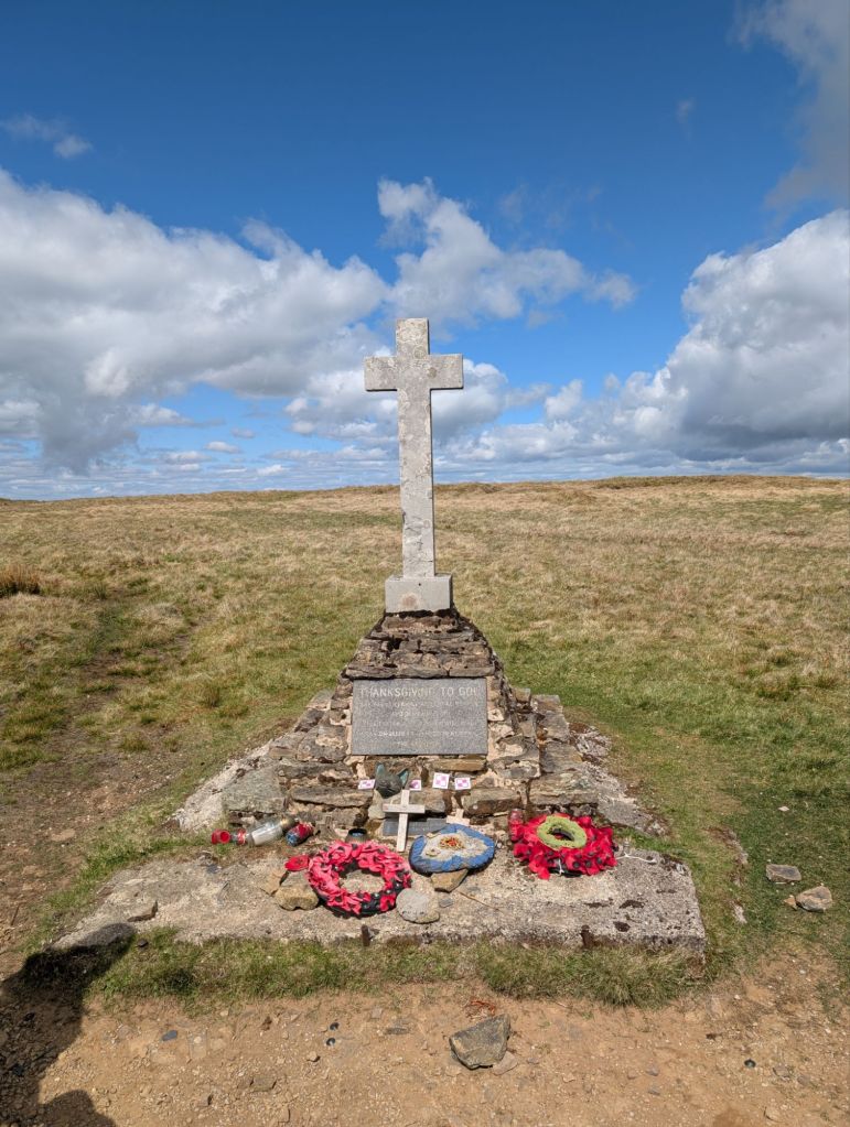
We quickly made it to the memorial cross. It was built to commemorate the Polish airmen who lost their lives there in 1942 when their plane crashed. We had quite a conversation about how scary it must have been for these pilots and how tragic it was. Looking at the memorial it has metal built into the base, I’m left wondering if this is parts of the plane.
The story of the pilots is in the link below.
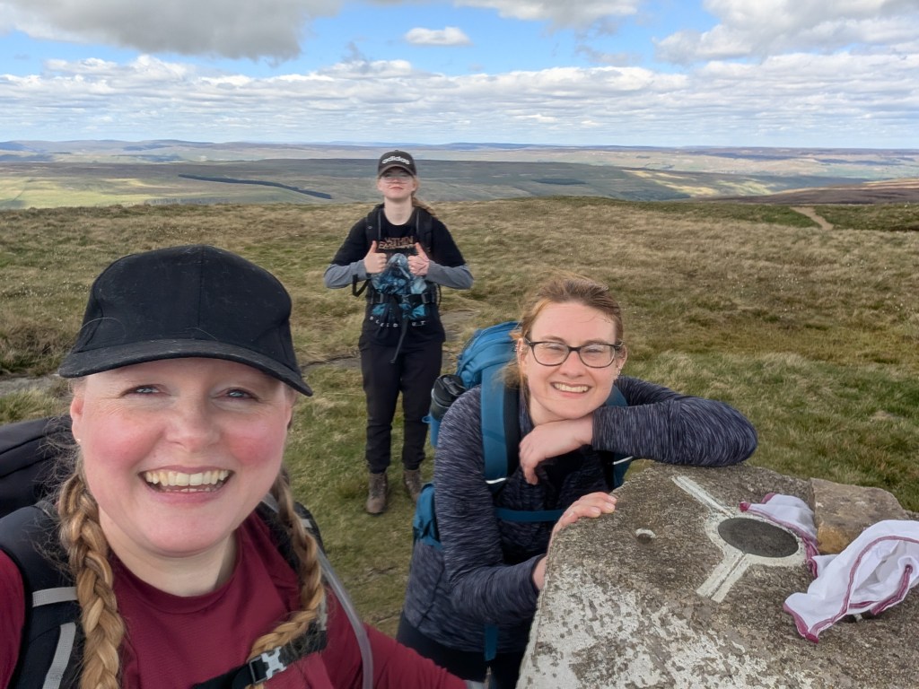
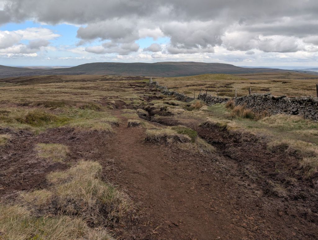
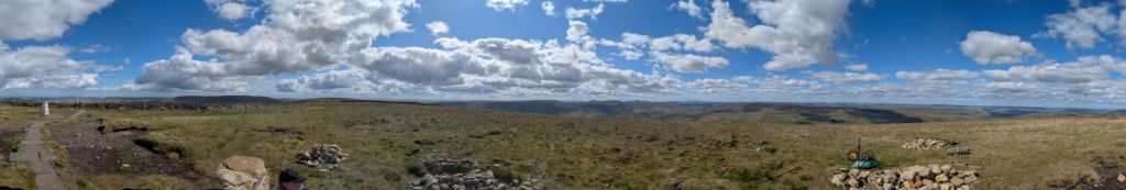
From the cross it’s easy walking across the top of the fell to the trig point. Sadly there were 2 giant ladder stiles to get over. The Dales is not very good for dogs sadly.
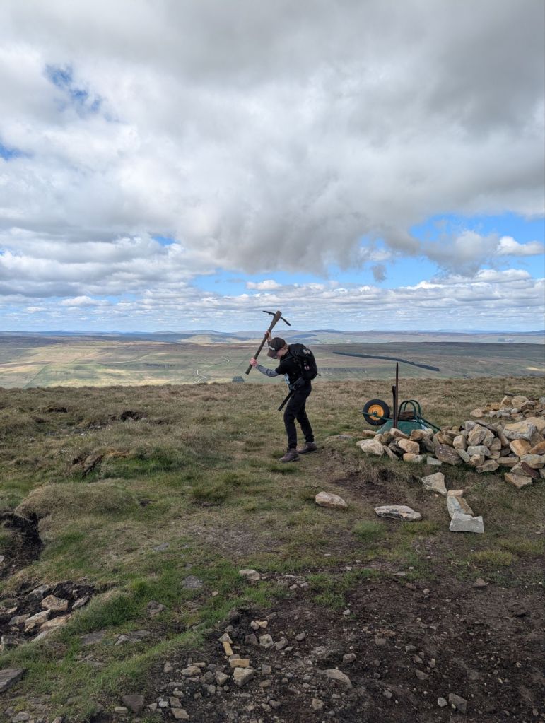
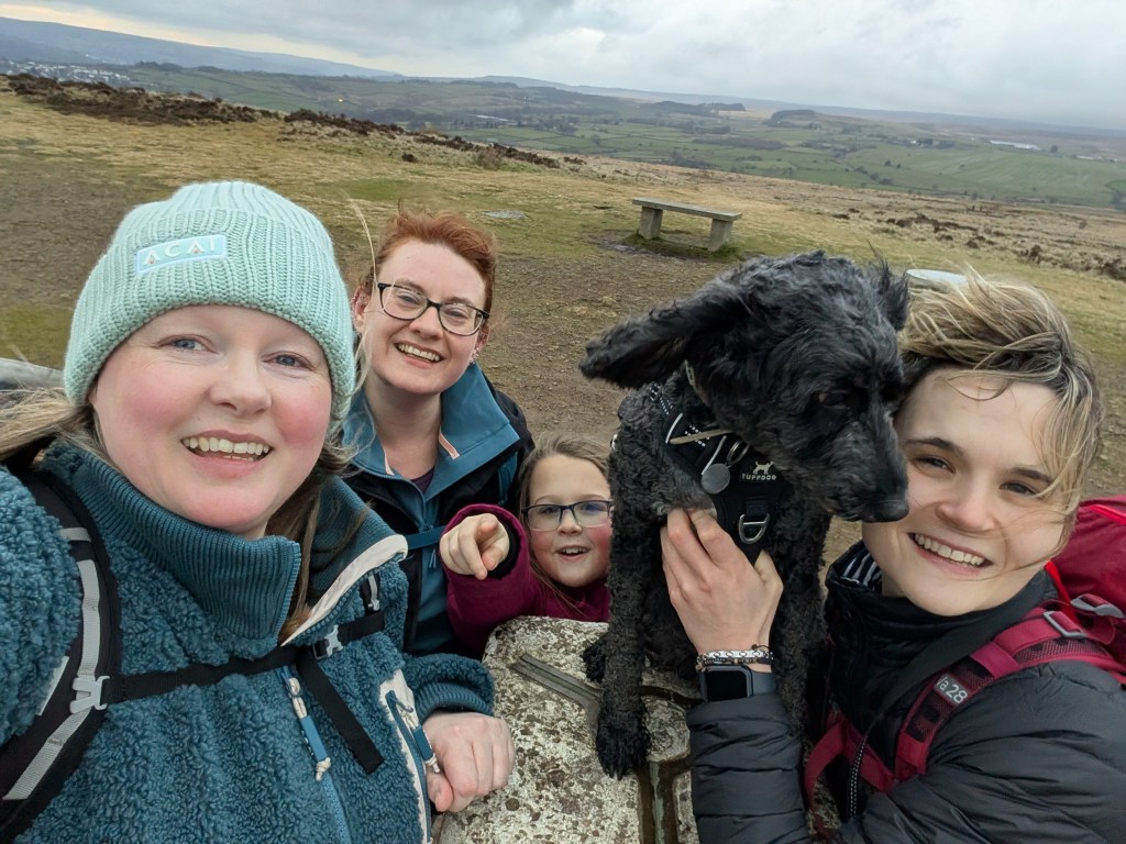
The trig point area looks different to last year and a sheltered seating area has been built. Though some tools have been left up there are Zara couldn’t help but play with the pickaxe.
We then followed the repaired path downhill all the way to the carpark. The weather was kind to us despite feeling a couple of drops of rain. Zara was chuntering about the weather as she didn’t want to wear her waterproofs on this mountain again.
Despite the walk being slightly longer than the up and down path we did last year, I prefer it. There is something satisfying about a circular walk.
The walk came it at just over 8 miles. It was a walk I decided to measure in miles as Louise and I said we’d earned a beer for every mile.
http://hiiker.app/maps/planned-trails/buckden-pike-circular–55595
https://explore.osmaps.com/route/26381058/Buckden-Pike-Circular-Walk
And I’m still preferring the hiiker app for navigation.


Leave a comment