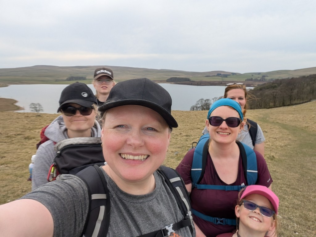
The weather has been extraordinarily good recently, but it’s forecast to change soon. So what maybe the last time we see the sun for 2025 we decided to do a decent walk in the Dales.
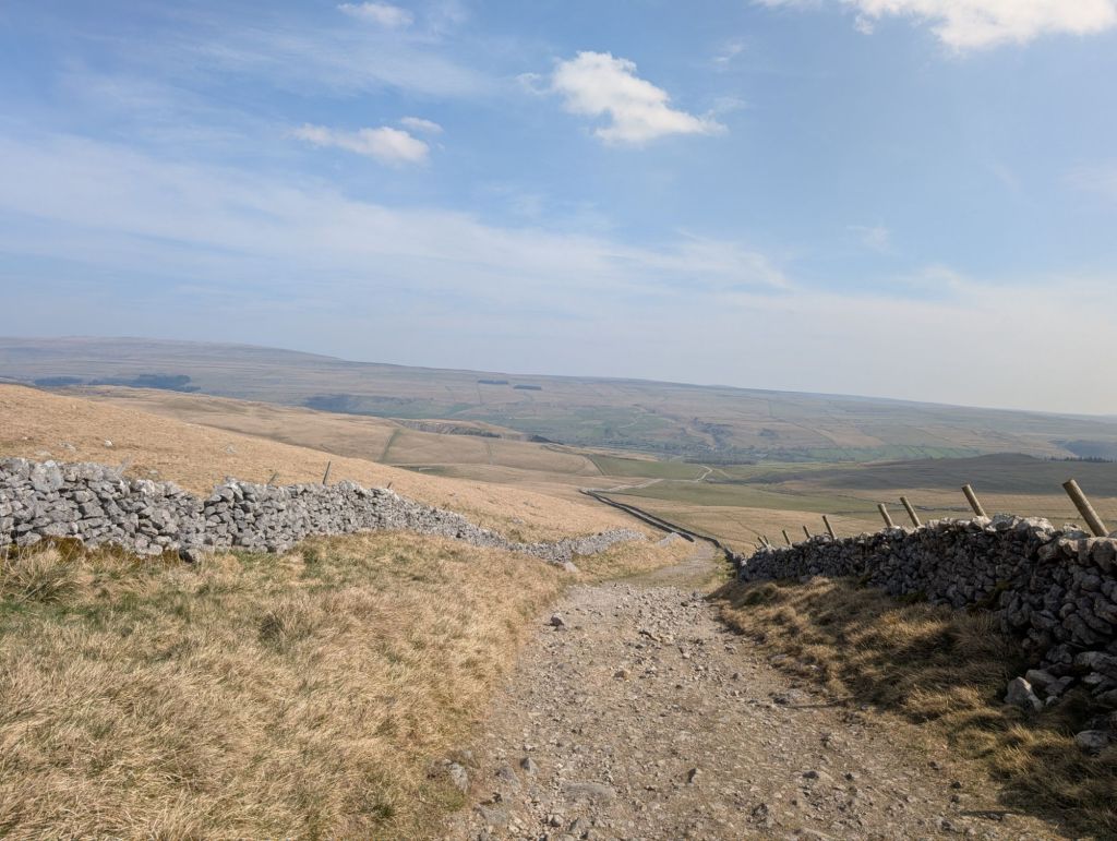
We started in Kilnsey, though if I did the walk again I would choose a slightly different starting point. We followed the road going above the village and joined Mastiles Lane. This is a fine path which inclined up into the hills.
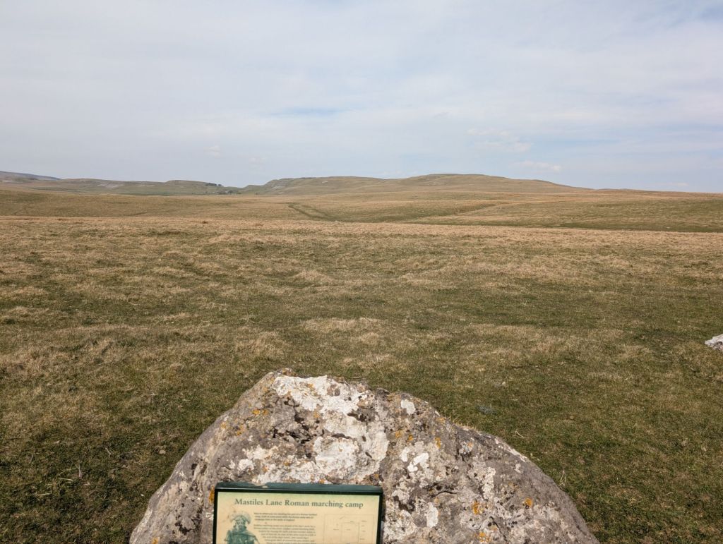
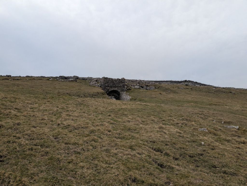
If I was a history buff I’d probably know more about the path, but I imagined it was an old Roman road as there was a plaque telling us about a Roman settlement. All I could personally see was grass though.
It was at this point we encountered our first medical problem. Rachel had some awful blisters on her feet from the 3 peaks walk she had completed the previous weekend. We had to rewrap her feet for her to continue onwards.
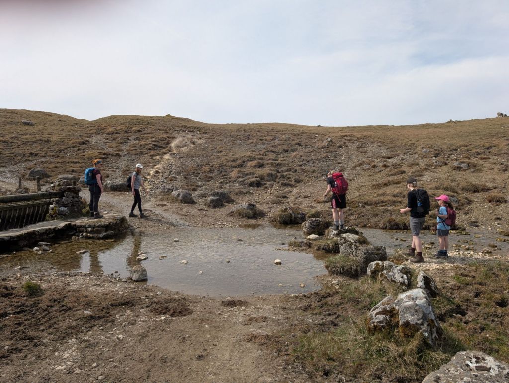
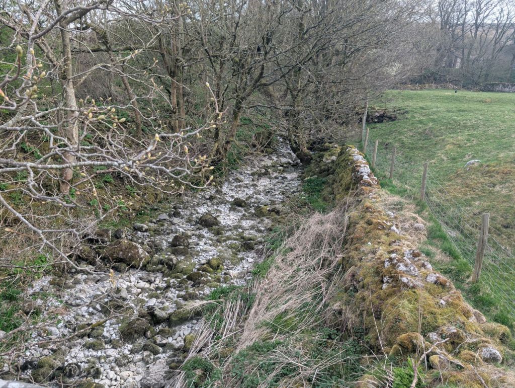
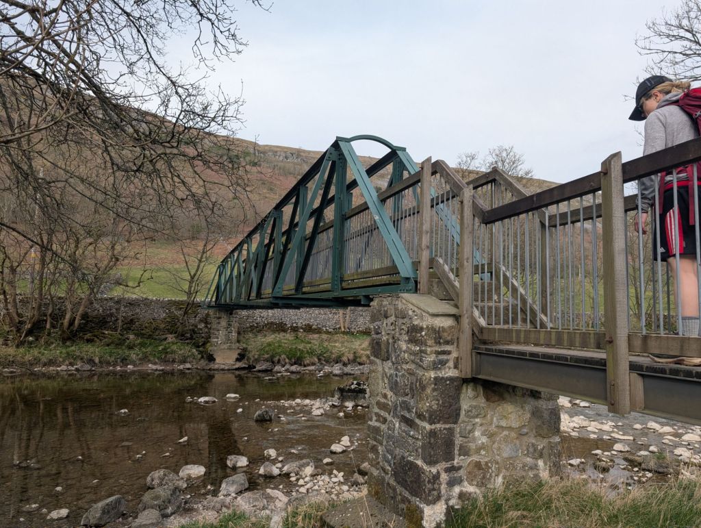
We had some fun crossing a stream. I find the different approaches people take fascinating. Maybe there’s some kind of personality test from this? Zalks waded through the water. Rachel and Zara took the rocks. Louise, Ness and I took the bridge. Yes, there was a perfectly good bridge.

We soon hit the Malham Tarn area and turned off Mastiles Lane. Malham Tarn is quite cool, it’s a glacial lake and sits at 377 meters above sea level.
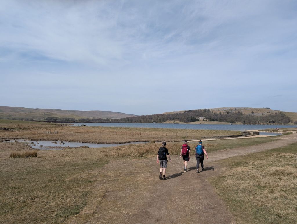
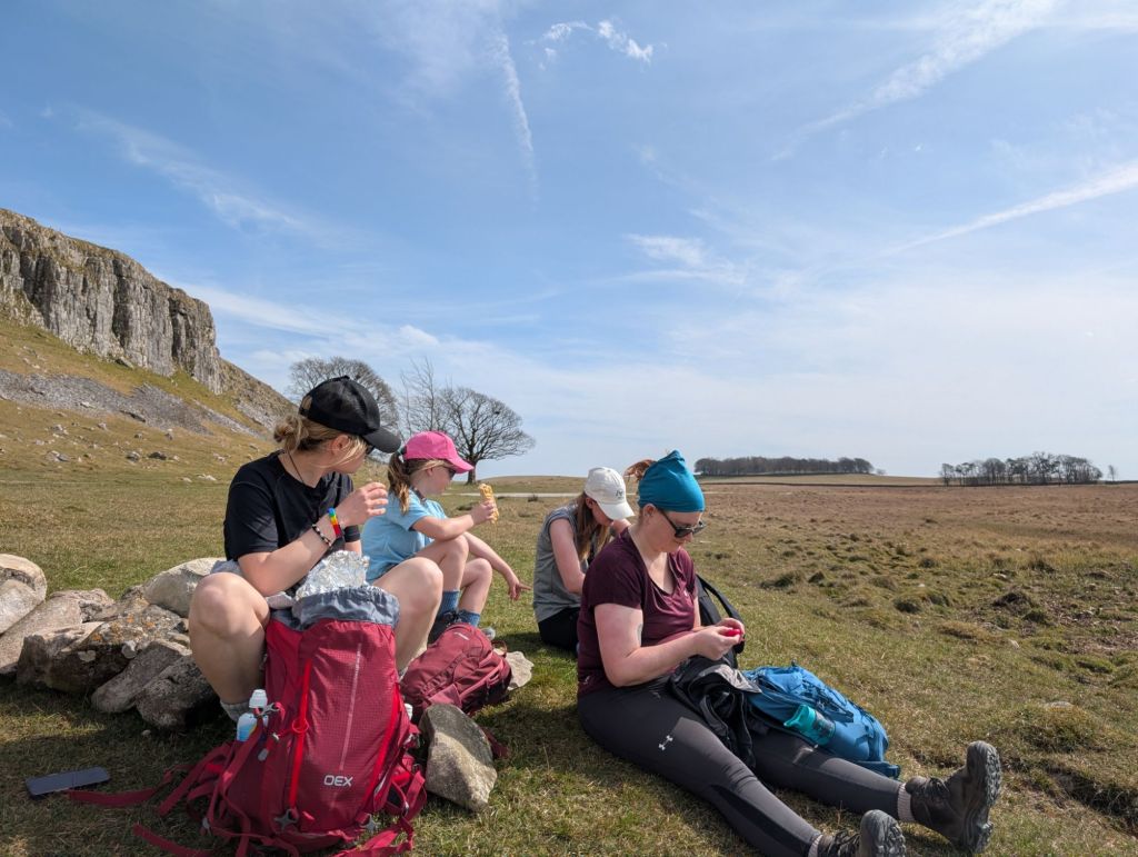
Malham Tarn is where I had decided that we’d be stopping for lunch. It was about half way through the walk and was a beautiful spot to stop in the sun. I bought a lovely lemon drizzle cake with me, which really made lunch feel special.

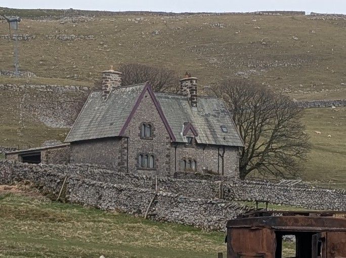
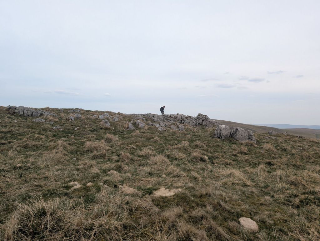
We left Malham Tarn and started heading up Great Close hill. We saw a farmhouse which we decided was very gothic looking and where vampires live.
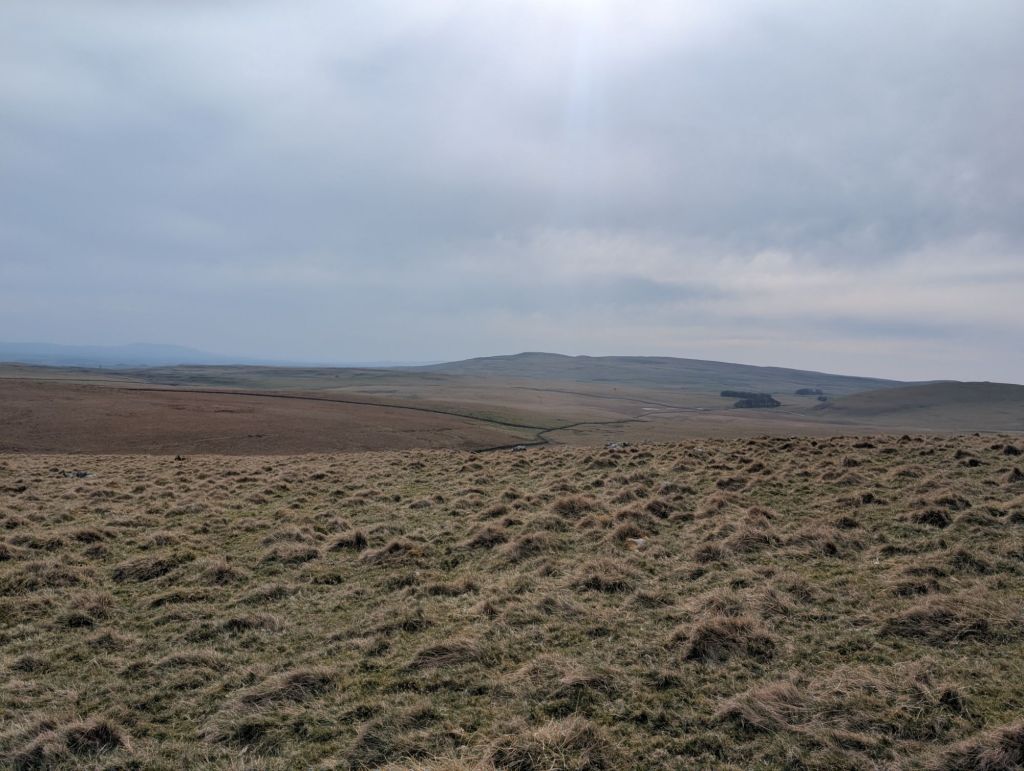
We then made our way over Flock Rake and High Cotes Moor towards Hawkswick. There was plenty of limestone pavement at this section of the walk and I tend to point it out to Louise our geologist of the group. Sometimes Louise identifies fossils in the rocks for us as we walk.


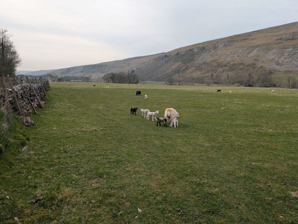
Once we got down to Hawkswick sadly it was road walking all the way back to the start. After being on the soft ground I find walking on the road very uncomfortable. We walked past Kilnsey Crag with all the rock climbers, which was fun to watch.
The walk was just over 24km.
If I was to do the walk it again I would probably start it at just after the River Skirfaw as there is good parking on the left and it would have broken up the road walking.
https://explore.osmaps.com/route/26146035/Kilnsey-Malham-Tarn-Cote-Gill-Waterfall


Leave a comment