
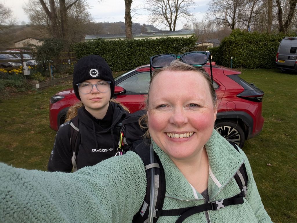
So this was a bit of an epic walk for a Friday. It’s a walk I’ve wanted to do for a while and the stars seemed to align. The weather forecast was great, I had annual leave and Zara had an inset day.
We headed off on Thursday evening after work/school, packing our walking gear and little tent. We were unable to get a campsite in Hope, probably because only mental people camp at this time of the year and none of them were open. We ended up staying at Eden Tree in Bradwell, about a mile walk from Hope. Great campsite though and clean toilet block.
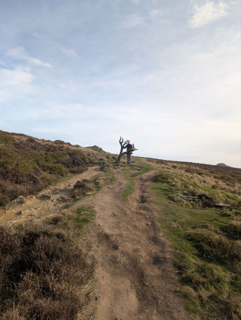
We started our walk nice and early, heading up Winhill pike. It was probably the hardest hill to walk up for me as I was still warming up. We saw an awesome tree on the way up that made me laugh. It looked like a tree from a cartoon where 3 birds would wait for us to die.
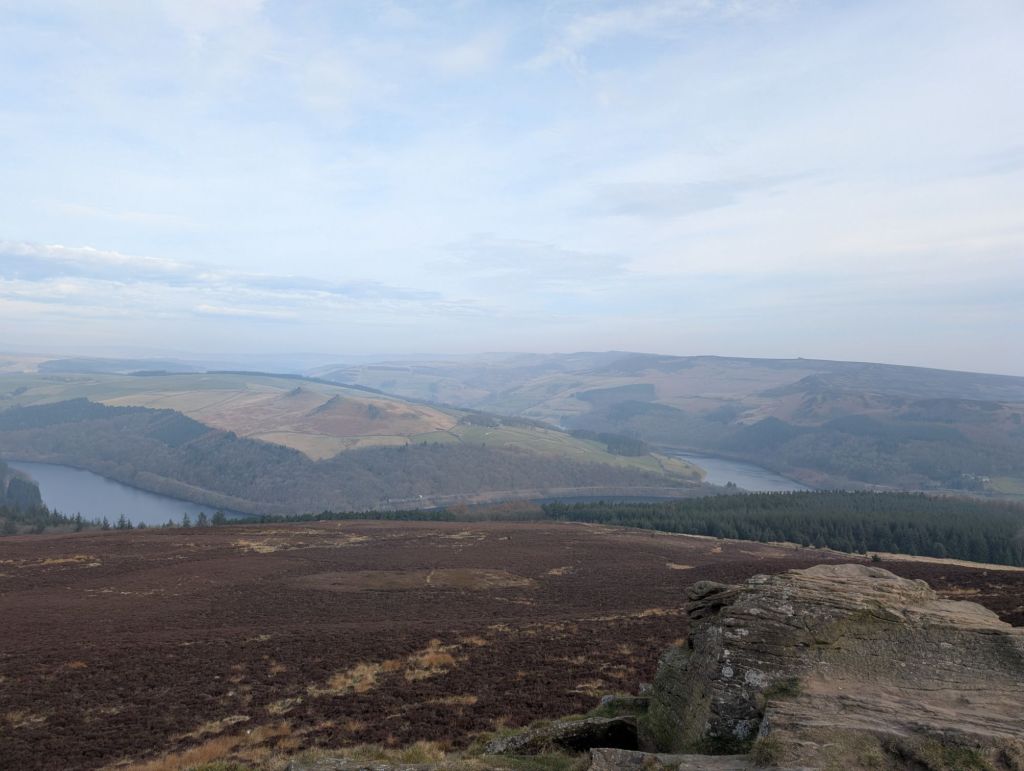
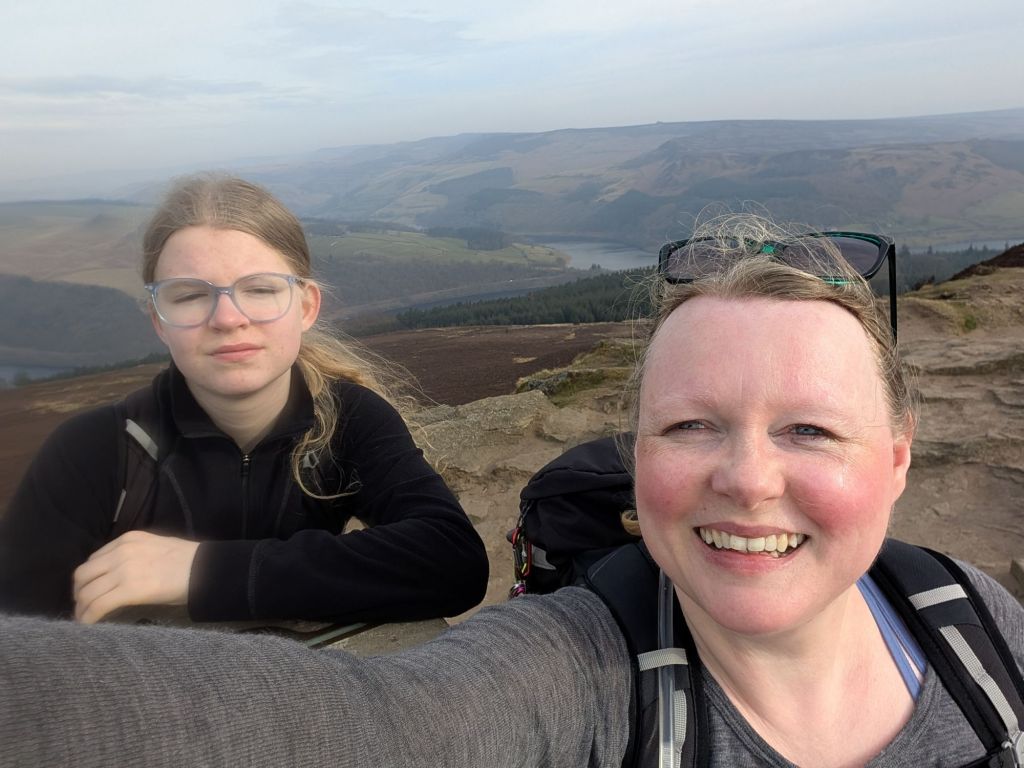
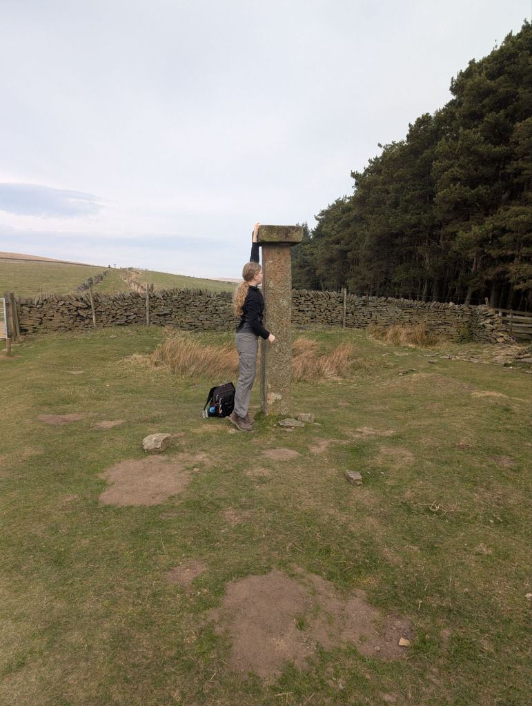
The views from Winhill Pike were amazing out over Ladybower reservoir. The trig point is on a cool rock outcropping that Zara couldn’t help but climb.
We followed the path down Winhill peak and followed the ridge line to Wooler Knoll. This path was great and then joined an old Roman road.
We left the Roman road and then headed up Crookstone Hill. At this point we were overtaken by runners. Runners I’ve decided that must be machines because I don’t understand how they do it.
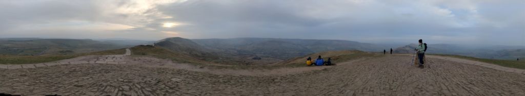
We continued to follow the ridge line with amazing views!

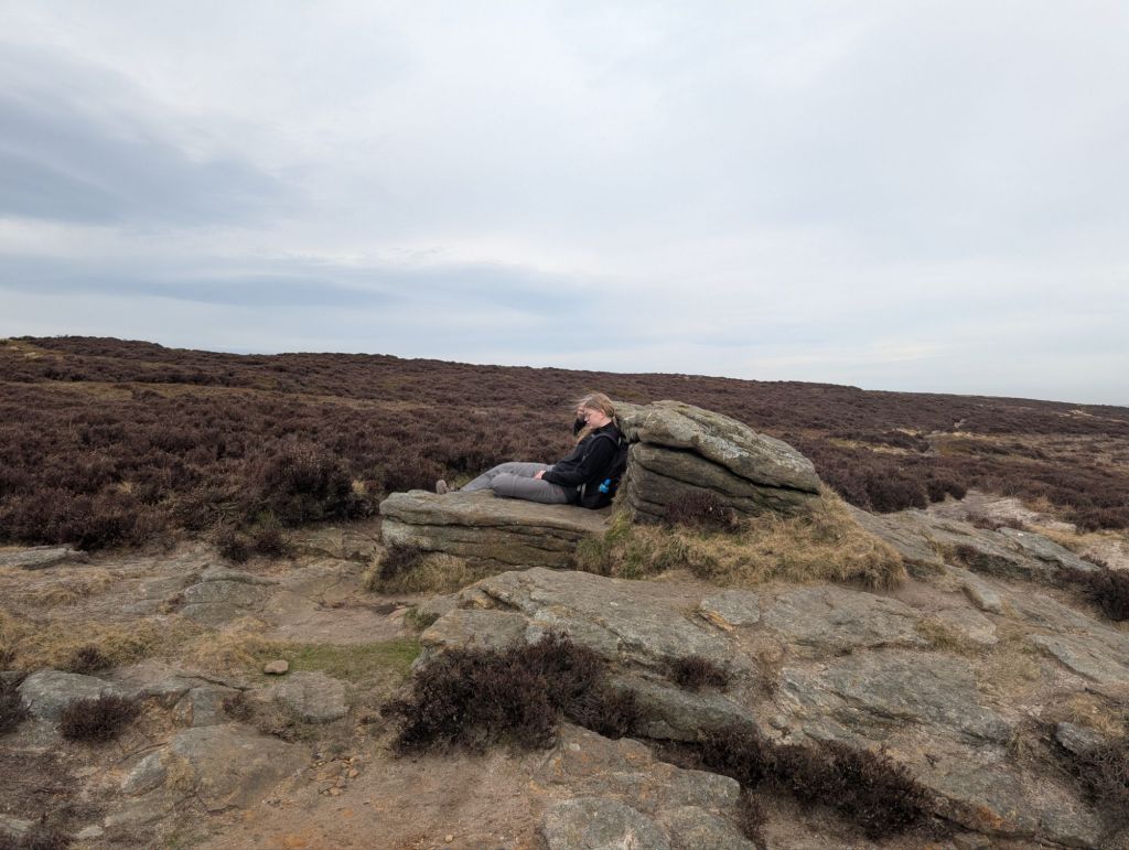

We continued on following the ridge line. I’d promised we could stop at mile 10 as energy levels were flagging at this point and it started to become tough as the wind had really picked up. We eventually found a rock to hide behind to stop some of the wind and had a 30 minute break and feet up time.
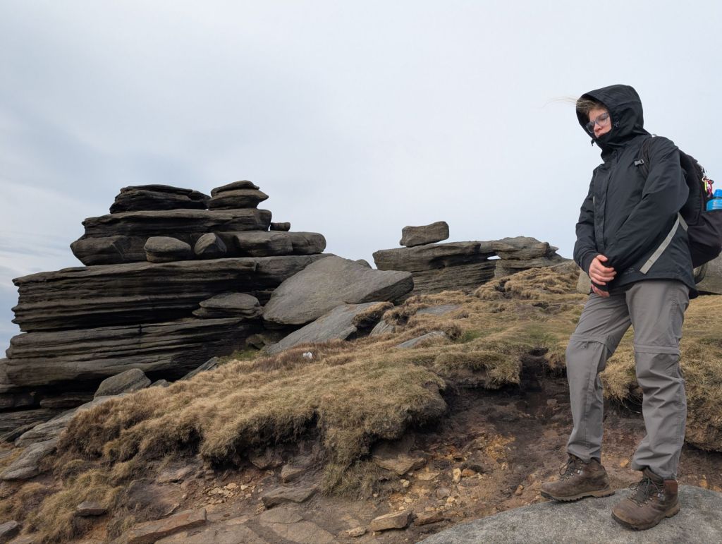
Feeling rested and re-energised having had lunch, drinks and a couple of ibuprofen we set off. I wondered if you’re really a hiker if you don’t take ibuprofen on the trail. Anyway we carried on walking and saw some more cool rocks.

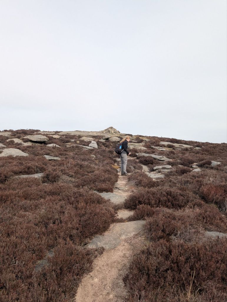
We were up on Kinder Scout at this point. The peat hags were incredible, some of them taller than me. Thankfully it has been dry for a while so all dried out. I would have hated to do this section when wet. We saw someone’s shoe that had been a victim and never found in the bog. I did then wonder how the poor person got down with only 1 shoe on, that would totally suck. Anyway more cool rocks around the wool packs.
Because of the wind we just huddled on and carried on down the path. I didn’t notice that unfortunately it was the wrong path – oops. It wasn’t the worse thing in the world though thankfully.
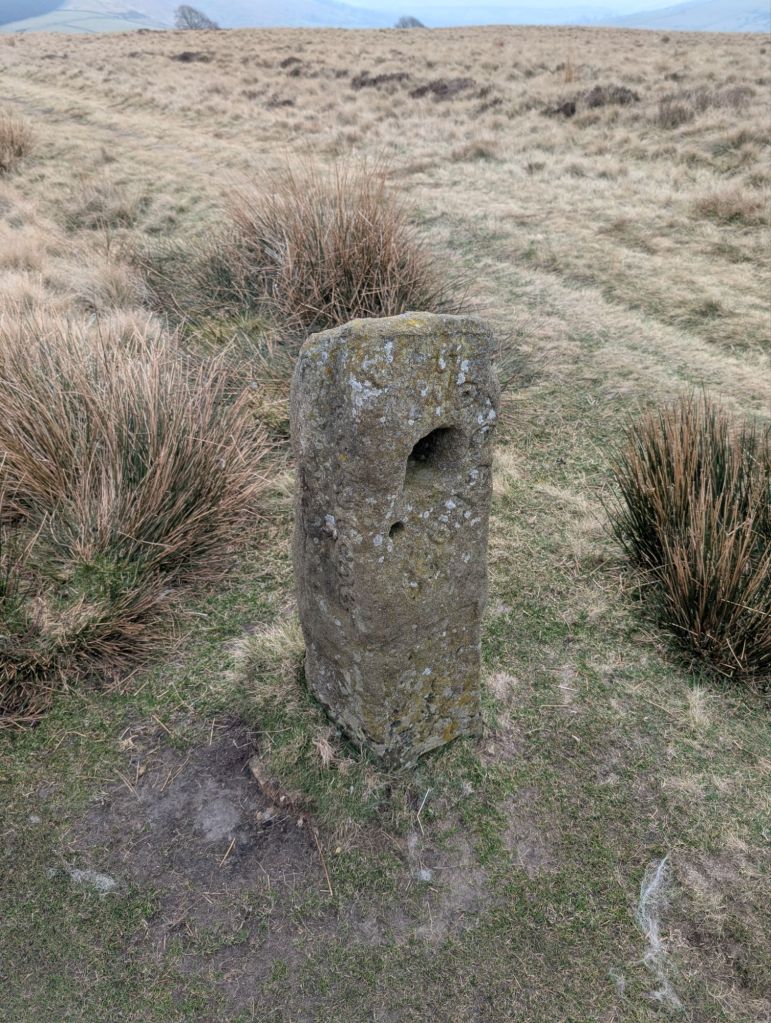
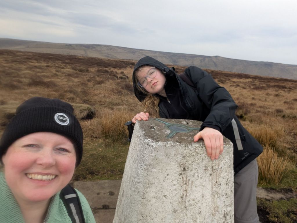
Back on the correct path and it’s a great path. Flagged all the way and I was grateful to the people that did that work. It made for a quick walk over to brown knoll trig point.
At the very end of the flagged path we stopped for a break which was the 15 mile mark.

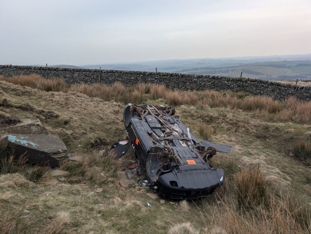
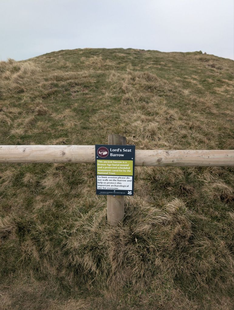
We then started the walk up to lords seat. We found 2 smashed up cars and I genuinely cannot figure out how they got there. Maybe it was dropped by a helicopter or something?
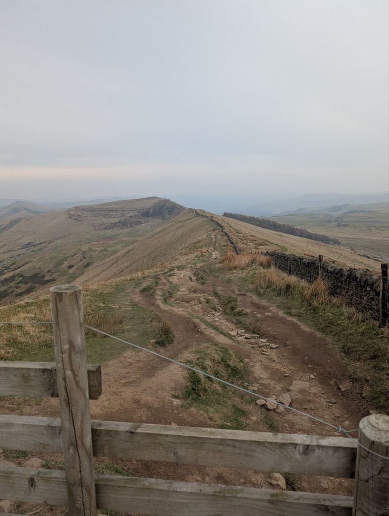
We were on the homeward stretch now and could see the path to Mam Tor
We had to drop some elevation to cross a road and then climb back up the other side to Mam Tor. It was an easy enough walk and wasn’t even a whole lemon sherbet sweet. (Lemon sherbets are how I measure a hill)
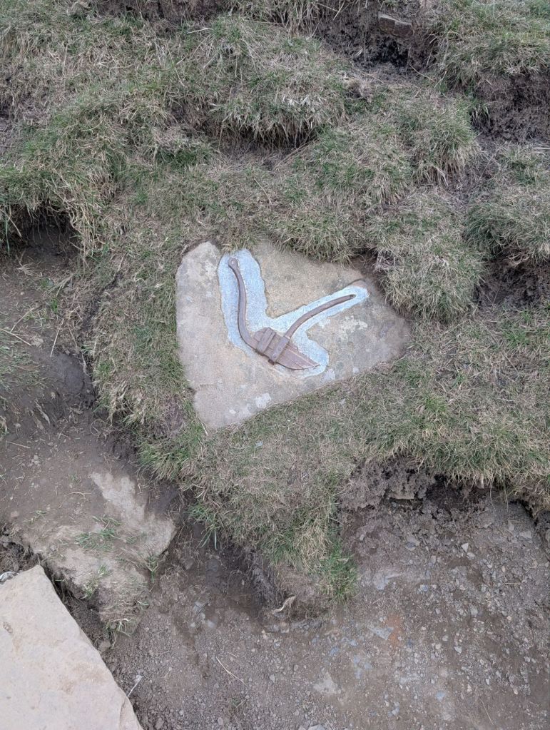
Walking up the very nice path to Mam Tor there were little pictures embedded into the floor.
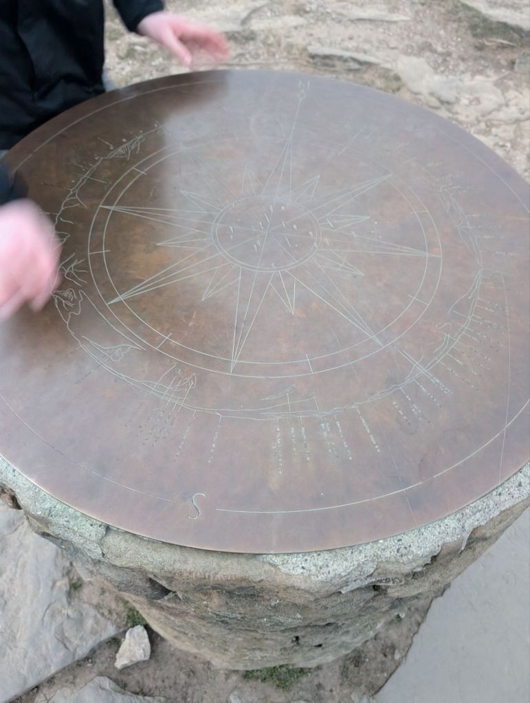
At the top of Mam Tor I was struck at how landscaped it was. I’ve never been up a hill like it.

Coming down the other side of Mam Tor on the really nice flagged path we continued on towards Hollins Cross.

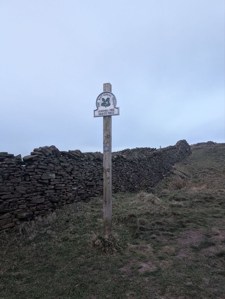
After Hollins Cross we continued onwards to Lose Hill our last hill. It’s now 6.30 and we are both shattered.


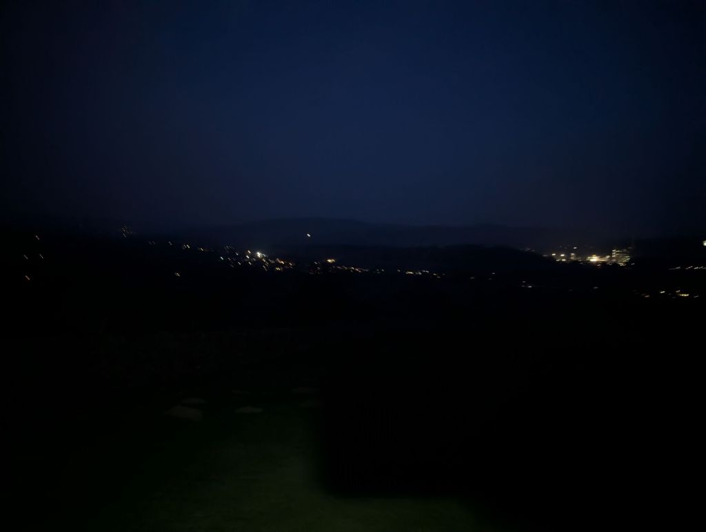
Walking back down it’s starting to get dark and we had to use our head torches. At this point it probably wouldn’t be an adventure for the 2 of us if we didn’t get to use them.
We stumble into a pub in hope at 7.30 and ate an awesome well deserved dinner.
All in all it was pretty epic. We visited 5 different Ethel’s (peak district hills over 400m) and bagged 3 trig points. The walk is 32.51km or 20 miles. We did just over 22 miles because our campsite was a little away.
We followed this route we found on os maps https://explore.osmaps.com/route/22111212/Edale-Skyline-Walk


Leave a comment