I’m still laughing about the walk we did yesterday. The mud we encountered was on a par with our trip up Yokenthwaite. Looking back it was a little bonkers.
I had sold it to the team as another reservoir walk, but we were exploring 2 reservoirs that we’d not yet been too. It was another walk in the Washburn Valley and started at Swinsty reservoir. I’ll caveat here that everyone was happy with the plan.
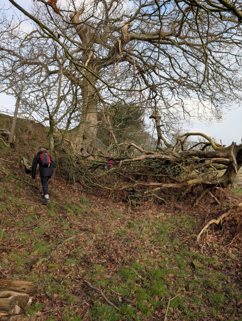
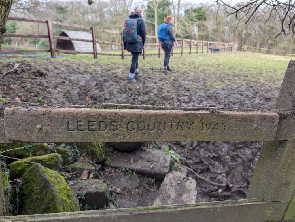
Turning off the main bridge we left Swinsty behind and started to head up through a wooded area. This was probably the first clue that we should have turned back as it was a little on the muddy side. But that’s not really our style, so onward we continued.
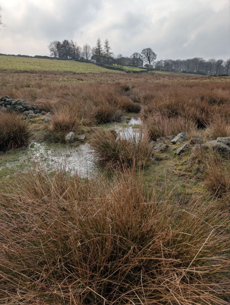
Once we got to the main road next to the sun inn, we picked up the Harrogate link pathway. We then encountered more mud as we picked our way through farm land and headed towards our first new reservoir Beaver Dyke reservoir.
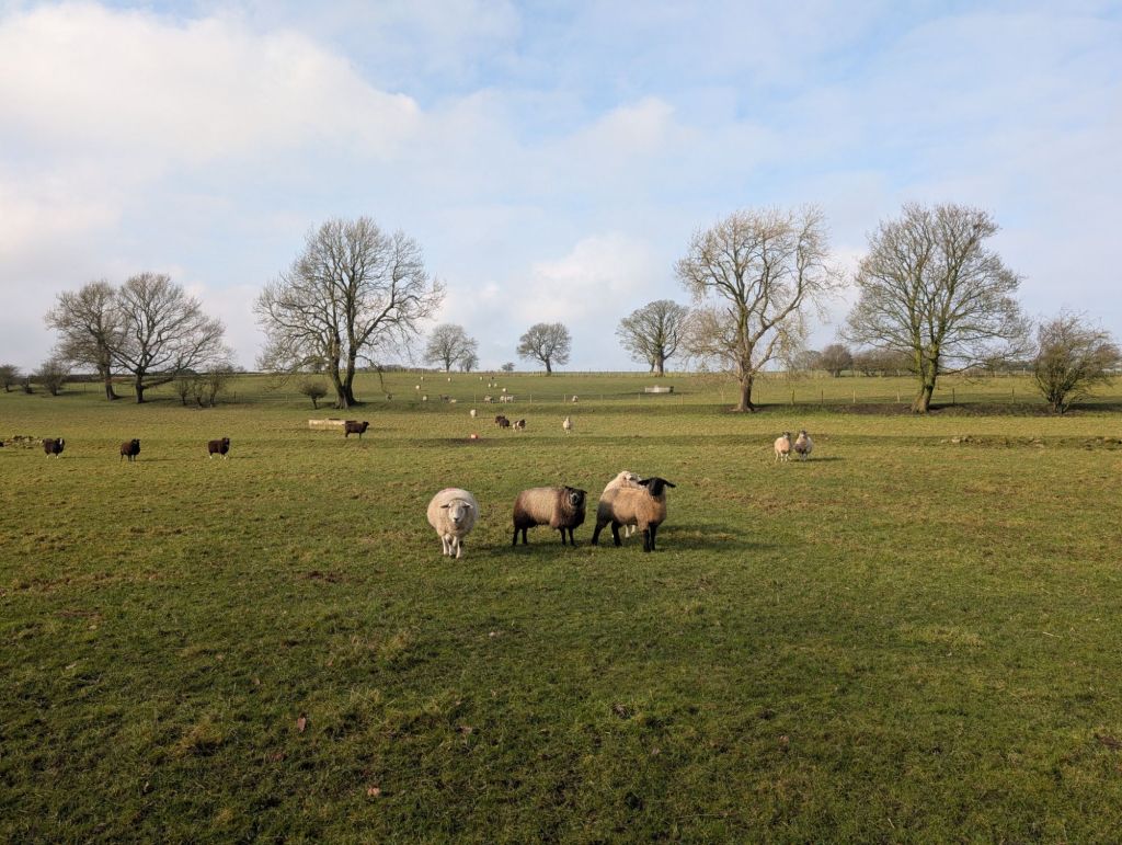

We left the Harrogate link behind and walked downhill through a farm to then follow a little stream up to our second new reservoir Scargill.


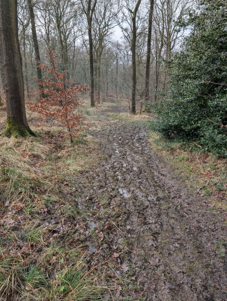
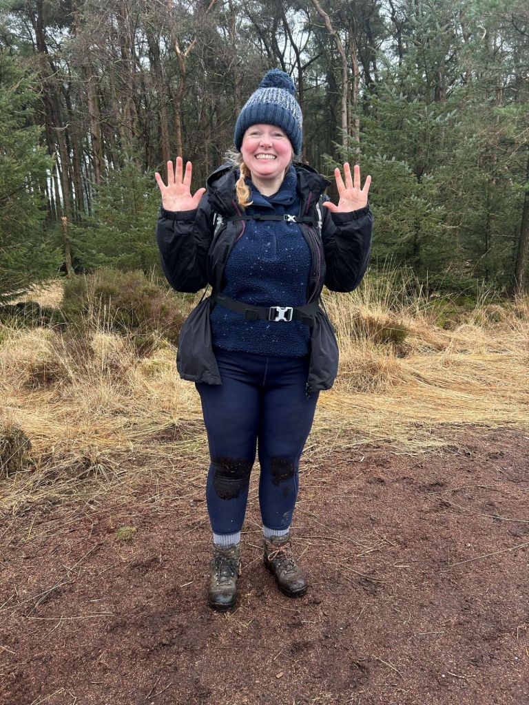
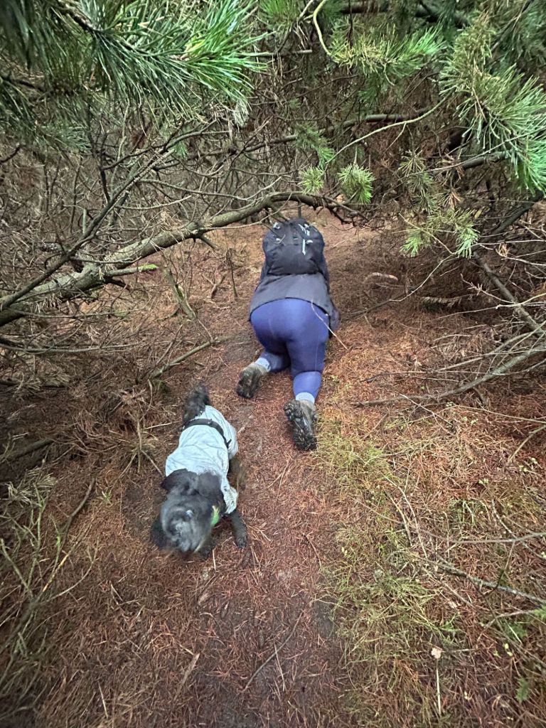
Once we had walked past Scargill reservoir and followed a long road up to Norwood Lane, I noticed a trig point on the map that I needed to visit. Que a slight detour from our route through Stainburn Forest. There had been lots of logging and the path was all churned up, muddy and slippery. My first fall of the day happened here in the mud, much to Rachel’s amusement. Karma was on my side though and Rachel slipped on a wet tree stump and nearly did the splits.

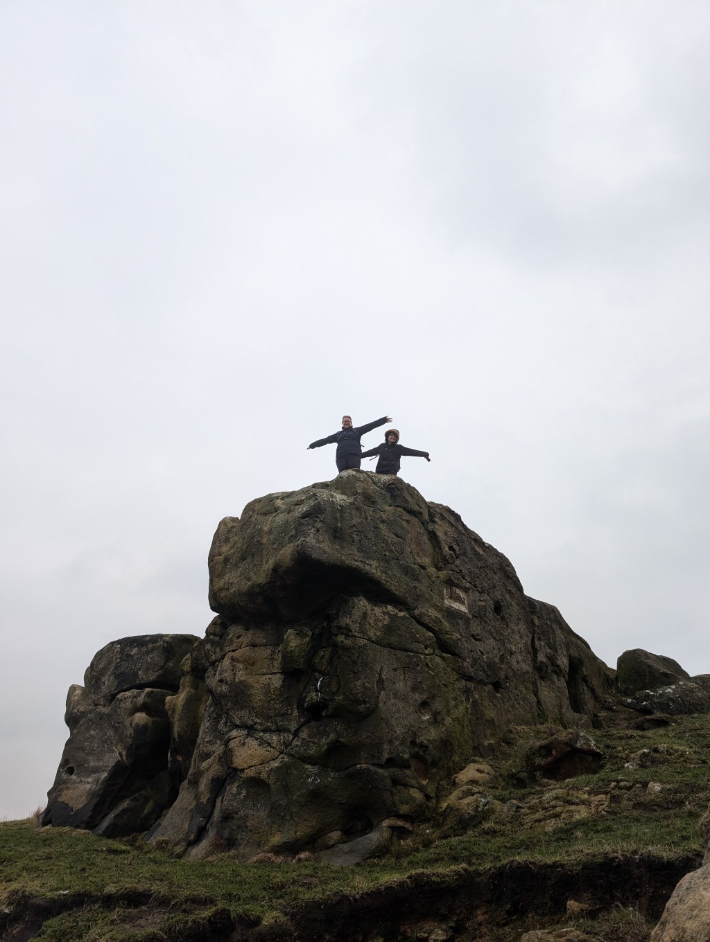
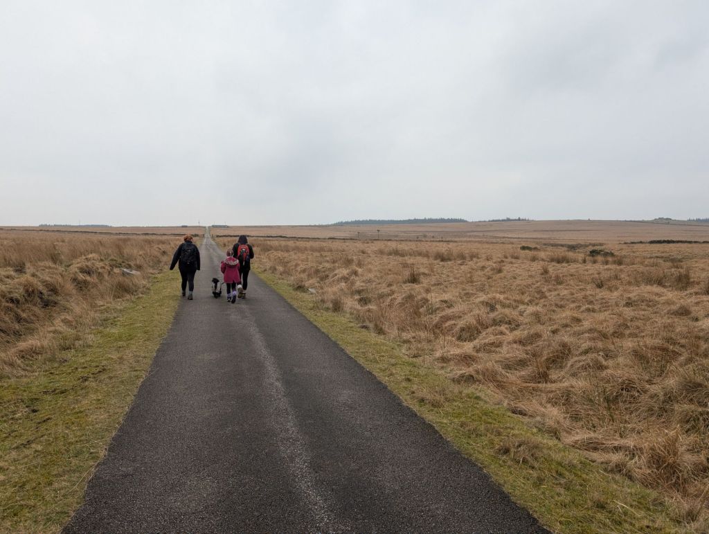
Returning back to the road we then got back on track and walked to Little Almscliffe Crag.
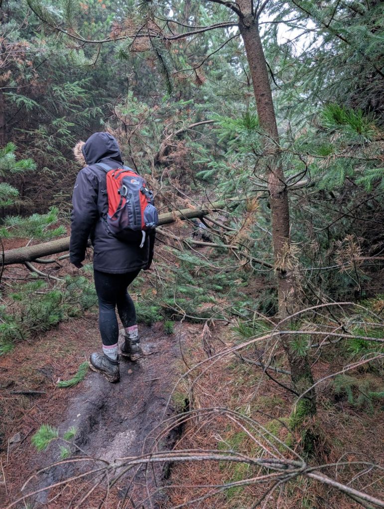
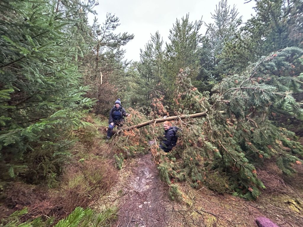
Once through the muddy fields we were due to walk through the woods on the os map. Logging had happened though and our path forward became very difficult. We were supposed to follow the path that runs via the wall, but this became impassable and we walked up a track instead. This is where I had my second muddy fall.

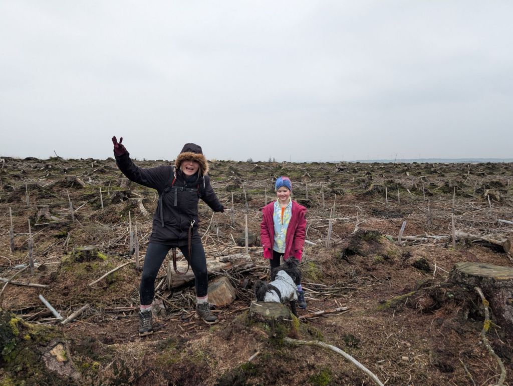
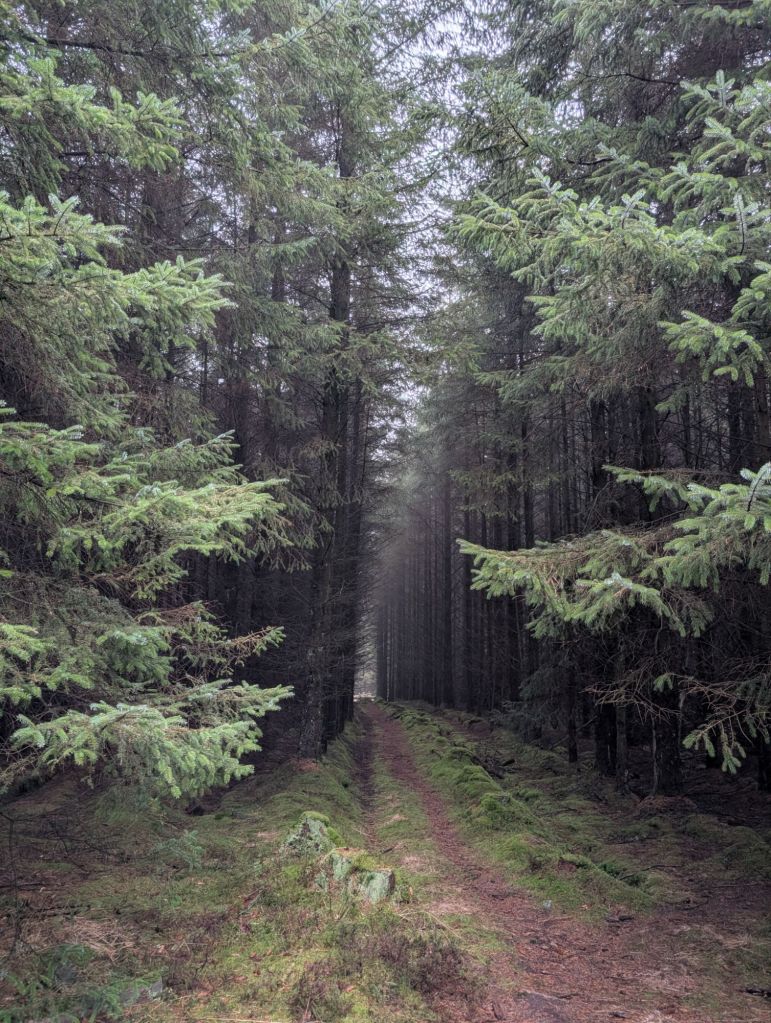
A slight course correction was needed once we headed out of the tree graveyard and into a forest. This forest path was probably the hardest part of the walk.
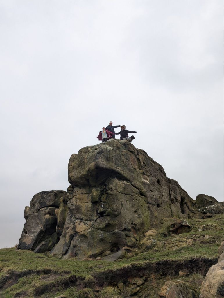
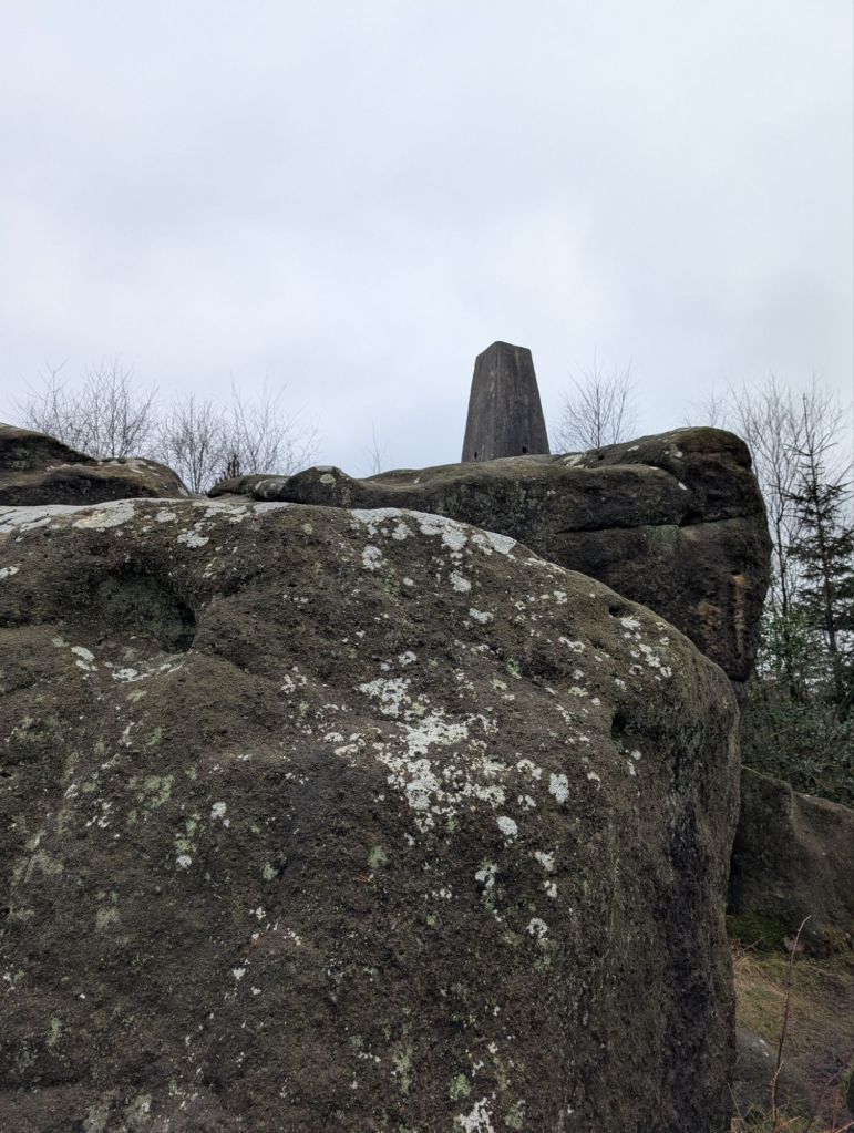
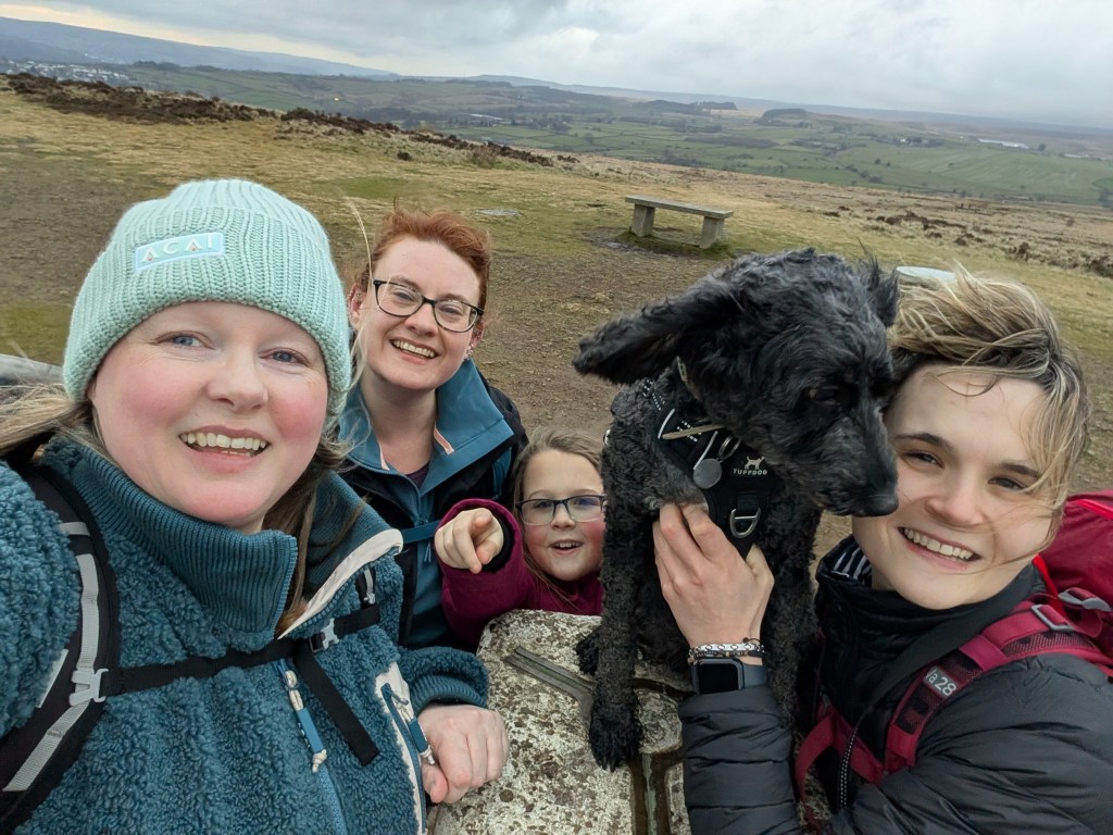
Anyway back on track and we make it to the second trig point of the day. Sadly nobody was able to touch it as it was on giant rocks.

We then headed out of the woods and began our descent back down to Swinsty, just as dusk was starting.
It was supposed to be a 13.84km walk, but we ended up doing just over 17km with our detour and course correction. It was slow going! I definitely would like to repeat the walk, I think it’ll be in the summer when it’s a little dryer.

https://explore.osmaps.com/route/25092035/Washburn-Valley-Swinsty-Beaver-Dyke-Scargill-reservoir


Leave a comment