I’ve been dreaming of getting back into the Dales the last few weekends, but the weather has been fairly rubbish with high winds so not really safe for us to do so. This is a write up of our last mountain walk which ticked off both Wild Boar Fell (708m) before moving onto Swarth Fell (681m).
We were originally going to follow the preferred route suggested by Jonathan Smith in the Dales 30 book which involved a train and then a 20km walk over the hills. After calculating the time it would take for us to get there (we live in Leeds) and then hopefully catch a train (if they are running) we realised that we would likely end up walking in the dark. Something that we really want to avoid.
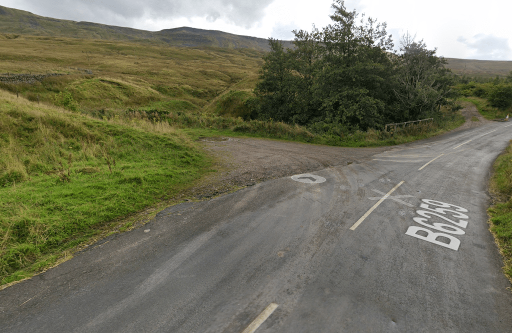
We decided to follow a different route and took advantage of the fact that we had 2 cars to save us lots of road walking (why does road walking seem so bothersome after walking up a couple of mountains?). We parked one car near Aisgill Cottages and then all piled into another car and continued north along the B6259 parking in a layby on the side of the road. There were already a couple of cars parked there and I would say there is space for 3-4 cars.
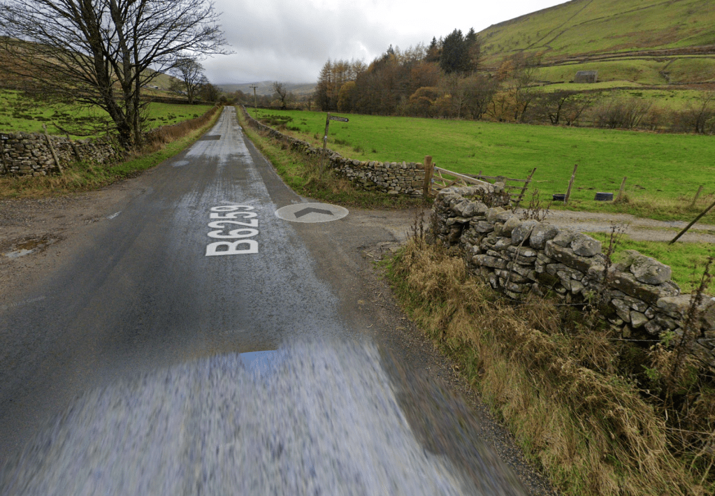
We then walked about a kilometre south down the B6259 turning left and picking up the Pennine Bridleway. This takes you past an area marked Hazelgill on the OS Map and following the path takes you under the railway. This is a great path and you can progress quickly up the hill. The track seemed to disappear at some point though and we lost the path. At that point we just kept heading uphill following the planned route we hit the path again and all was good. You eventually come to a junction of walls and the path splits off into different directions. You want to take the left hand path and continue up Wild Boar Fell.
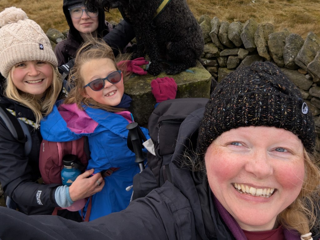
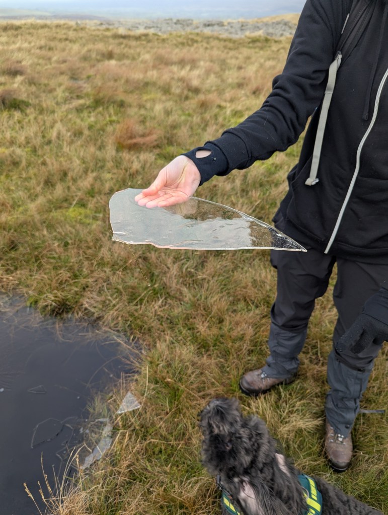
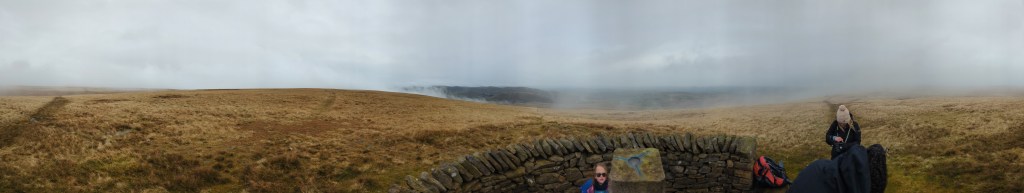
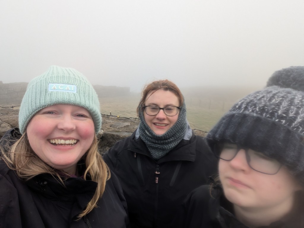
Continue up this path to the summit. There are some interesting looking cairns to investigate but it was trying to snow at this point so we decided to head to the trig point for some tea and cake. The girls had been having fun pulling ice out of the puddles as it was all pretty frozen up there. The trig point is off to the west and has a shelter built around it. This was really appreciated because the clouds were swirling around us at times like we were walking in pea soup.
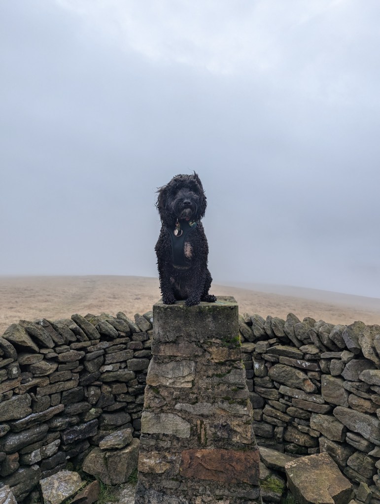
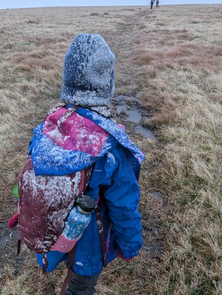
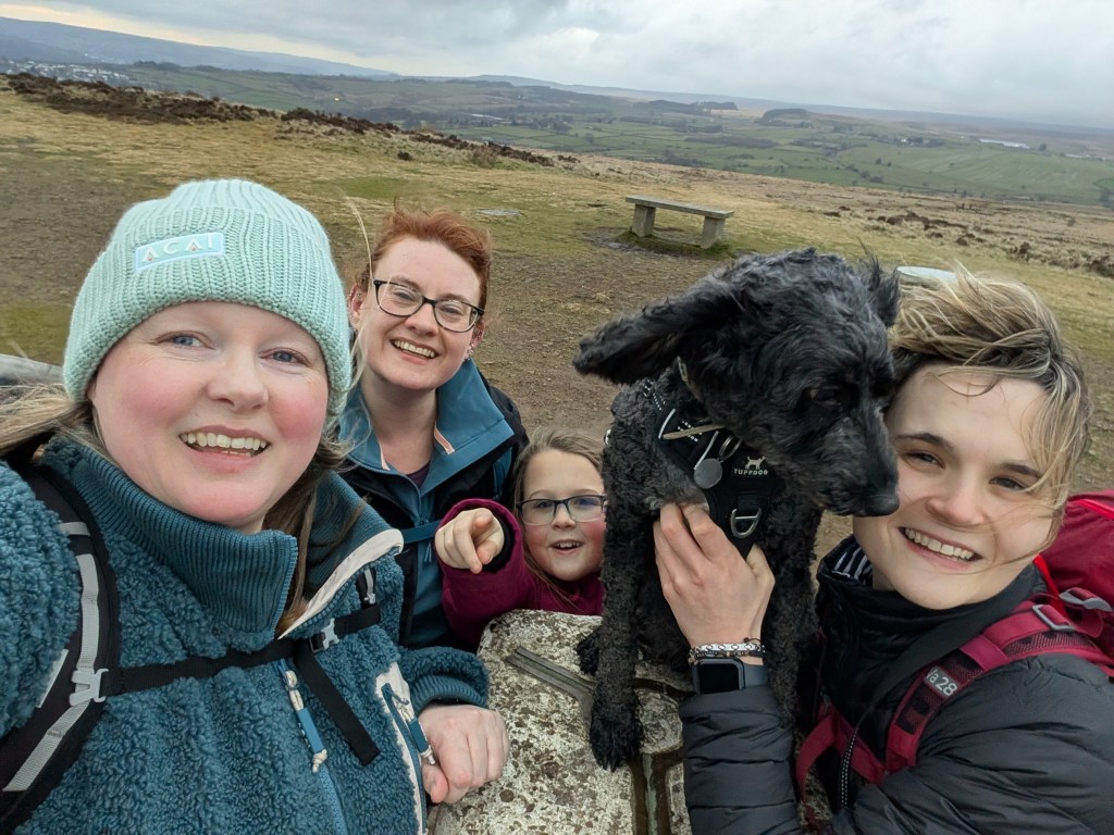
There is a pretty good path linking Wild Boar Fell and Swarth Fell. Swarth Fell is pretty much to the south of of Wild Boar Fell about 2.25km away. It really started to snow at this point and we were making jokes about us being real mountaineers walking in the snow. The kids were having a great time and so was Hagrid, who seems to like the snow a little too much.
We made it to Swarth Fell but didn’t stay there too long as it was so cold. Swarth Fell was the last mountain of the Dales 30 for us and so I had envisioned us holding up banners and having a party there. Instead we dropped off a few rocks which we had painted to commemorate the occasion and then we scooted out of there so fast.

From the summit cairn we continued South East for a little bit before finding a path that headed East and down. This was not in the same place as where my OS Maps App was originally mapped, but was a well defined path. This path is fairly steep, but manageable on 2 feet. The girls and Rachel decided though to come down on their bums as the snow had made things slippy. They had a great time wearing waterproofs which meant they had extra slippyness and went faster. This path leads all the way down to Aisgill cottages where we had parked a car. If you don’t have a car parked there it is about a 5km walk back to the car.

I really enjoyed this walk. We only saw a couple of people all day as well so it really felt like we were alone in the world. Our walk came in at 10.62km and took about 4 hours in total.
Note of caution.
Wild Boar Fell is in quite remote country. We didn’t see any shops or pubs so if you do this walk then please take all your supplies with you. You will also need OS Maps App or something similar. When the cloud descended on us it was difficult for us to see the path ahead and we had to ensure we were heading in the right direction. I also always take a paper map and compass (make sure you know how to use them). The OS Map for this walk is OL19.
https://explore.osmaps.com/route/24130286/Wild-Boar-Fell-Car-Route


Leave a comment